Casahuala Peak
Description
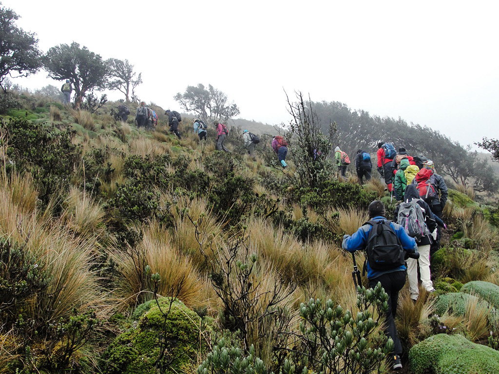
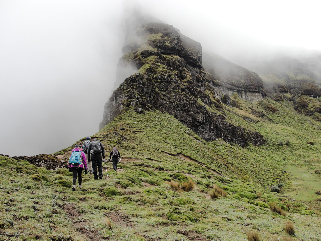
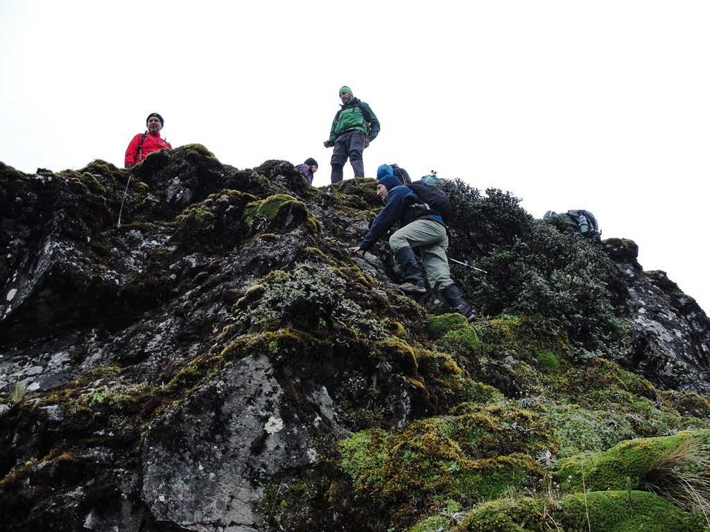
The Casahuala is an ancient and extinct volcano, highly eroded, formed by a long rock blade at the head of two ancient glacial valleys. These valleys accumulate water and have facilitated the construction of the Mula Corral and Chiquiurcu dams, which contribute vital liquid to the city of Ambato. The Casahuala has two rocky peaks, whose steep, rocky walls offer enormous potential for sport climbing.
Data Table
| Place | Elevation |
|---|---|
| Highest Summit | 4562m |
| Summit 1 | |
| Hiking start | 4073m |
| Rock window | 4423m |
Photo Gallery
Climbing and Hiking
- Ascent to the Casahuala Highest Summit
- Climb to the Summit 1
- Cycling route: Ambato - Mula Corral Dam
- Click for more information
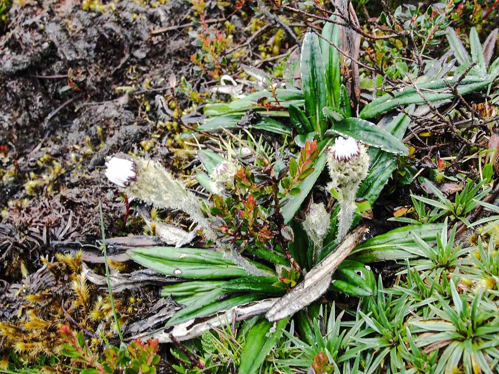
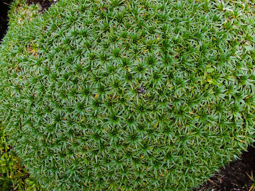
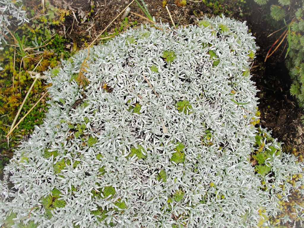
Flora Gallery
- How to get
- Distances
- Recommendations
How to get
Western Cordillera; 20 kilometers in a straight line northwest of Ambato. There are two main routes to access Casahuala:
- Normal Approach "Pasa": Just arriving at Ambato from Quito, you take the "Rodrigo Pachano Lalama" avenue to the right that goes around the western side of Ambato and leads to the Ficoa neighborhood, this road ends up calling "Los Guaytambos Avenue" and continues towards Guaranda or Riobamba. Finishing the neighborhood of Ficoa, just beyond the Tungurahua Club, you must take the left on Miraflores Avenue to immediately cross the bridge over Guaytambo Avenue and get on the paved road to Pasa. This route runs along the Ambato River for approximately 14 km and then you have to turn right to the village, in total 15.4km or 20 minutes from Ambato to San Antonio de Pasa. In Pasa, go to Tibilí through a ballast road that ends at the Mula Corral dam, approximately 15.5km or an additional 30 minutes until the recommended point to start the hike to Casahuala. The road is good and allows access to almost any type of vehicle.
- "Quisapincha" Approach: Go to the neighborhood of Ficoa in Ambato and take the street "Las Pomarrosas" to the west to connect with the paved road to Quisapincha. In Quisapincha you have to follow the road to Punguloma – Tibilí that will end up drawing with the Normal Approach "Pasa".

