
Inca Trail
Description
The Inca Trail or Qhapaq Ñan served to connect the Inca empire capital, where the city of Cusco is currently located, with the various territories dominated by the Inca. One of these trails was heading north, traveling through a very complicated geography and passing by the important cities of Cajamarca, Tomebamba, Ingapirca and Quito. Achupallas - Ingapirca is one of the best preserved Inca Trail sections, located in the Cañar province, central south zone of Ecuador. The trail begins at the indigenous community of Achupallas, mostly crossing sections of wet “paramo” surrounded by lagoons and rocky peaks, it crowns its highest pass at 4416 meters and then descends to the Culebrillas Lagoon, Paredones Ruins, and end up at the vehicular road that connects some indigenous communities with the town and Ruins of Ingapirca.
Data Table
| Place | Elevation |
|---|---|
| Alausí | 2350m |
| Achupallas | 3340m |
| “Tres Cruces” Lagoon | 4240m |
| Highest pass | 4416m |
| Culebrillas Lagoon | 3892m |
| Paredones | 4000m |
| Car road | 3680m |
| Ingapirca | 3130m |
National Park
Photos
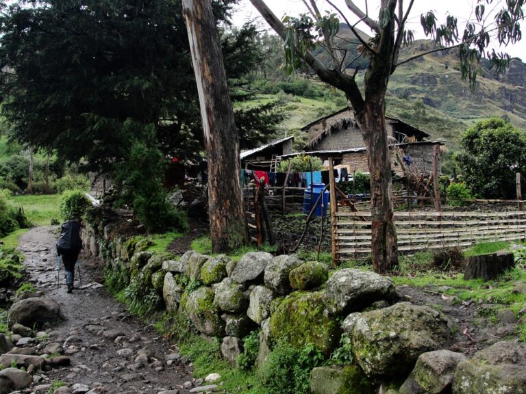
Leaving Achupallas
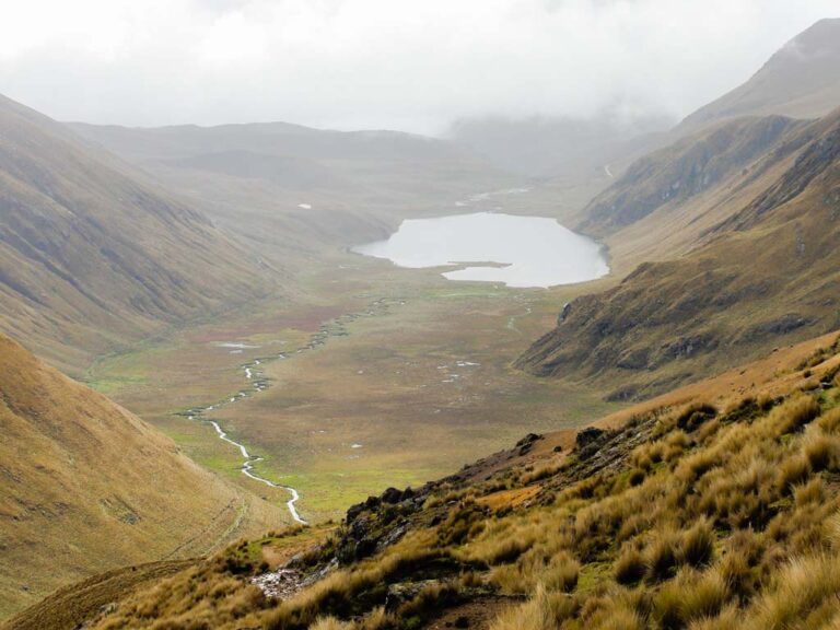
Culebrillas Lagoon
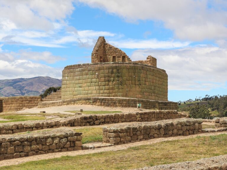
Ingapirca Archaeological Complex
Flora
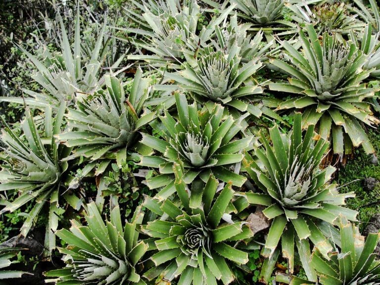
Puya Sp.
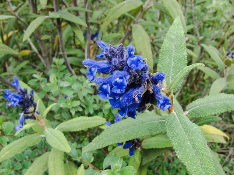
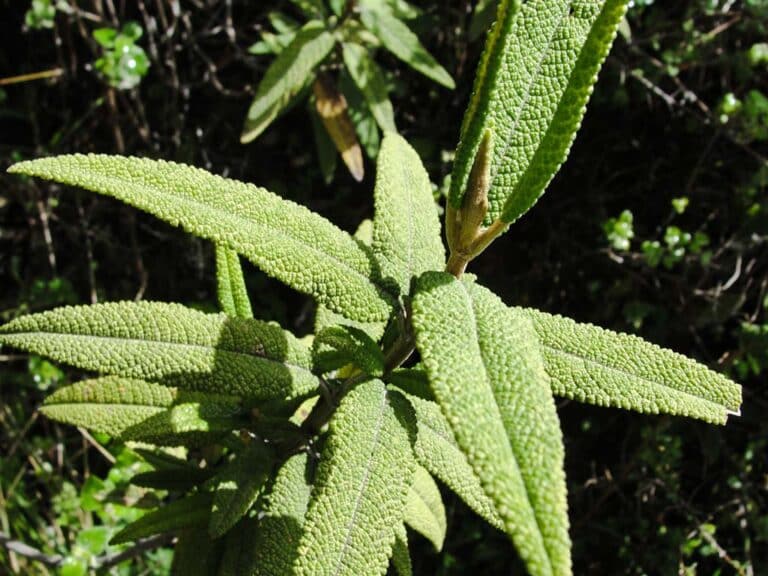
Salvia corrugata

Gentianella Sp.
Flora Gallery
- How to get
- Distances
- Recommendations
How to get
Eastern Cordillera; 50 kilometers in a straight line to the northeast of Cuenca.
- “Alausí Approach”: Take the Pan-American highway from Riobamba southward until you reach the town of Alausí. In Alausí, it's necessary to go up a second-order road towards the Achupallas community where the hike begins.
