Cotacachi Volcano
Description
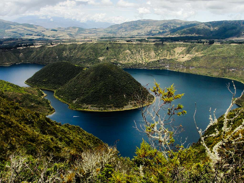
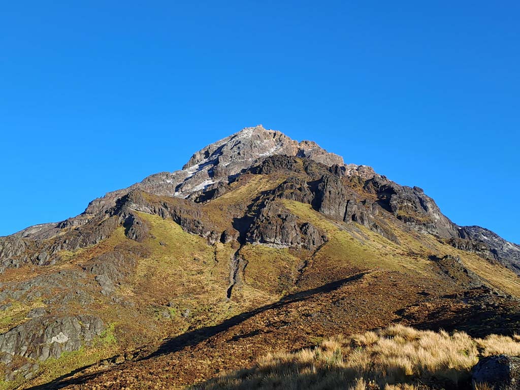
The Cotacachi Volcano rises in the form of a “pyramid” of steep rock and adorned with white spots. Located in the Western Cordillera, it can be seen from Quito on clear days, and especially from Otavalo and Cotacachi. The crater of the new volcano is now occupied by the Cuicocha Lagoon; and the remnants of the “old volcano” are to the north of this lagoon, in the form of this rocky peak. Formerly called “Nevado Cotacachi”, it had a glacier located between its two highest peaks, according to what was reported by Whymper in 1880. Nowadays, it's common to see it partially or completely covered with snow, depending on the season of the year; however, it no longer has glaciers. To climb to the summit, the normal route runs along the south face, which faces Cuicocha, and which is probably the steepest face of this mountain.
Data Table
| Place | Elevation |
|---|---|
| Highest Summit | 4939m |
| Cotacachi Central Square | 2445m |
| Cuicocha Lagoon | 3062m |
| Antennas | 4026m |
National Park
Photo Gallery
Climbing and Hiking
Starting at the Cuicocha Lagoon Access Control:
- Cuicocha Lagoon Ring Trail: A very fun hike is the one which follows the trail around the lagoon. Approx. 12.5km; 3 to 5 hours of hiking. Low difficulty.
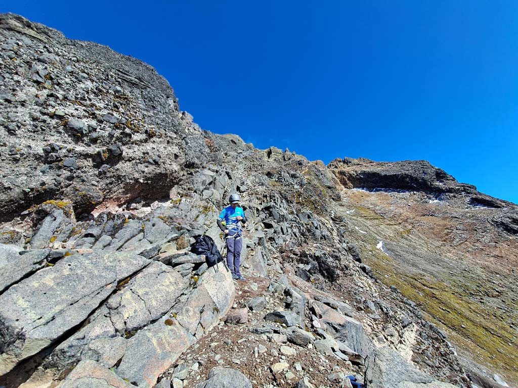
- Climbing to the Cotacachi Summit: recommended only for people with climbing experience; sections of poor rock quality with difficulty between III and V, for the routes considered “normals”
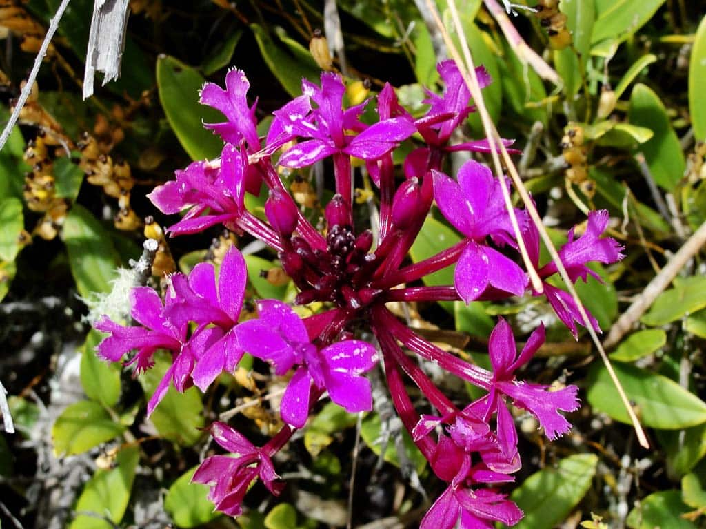
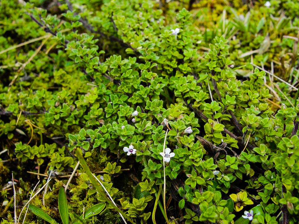
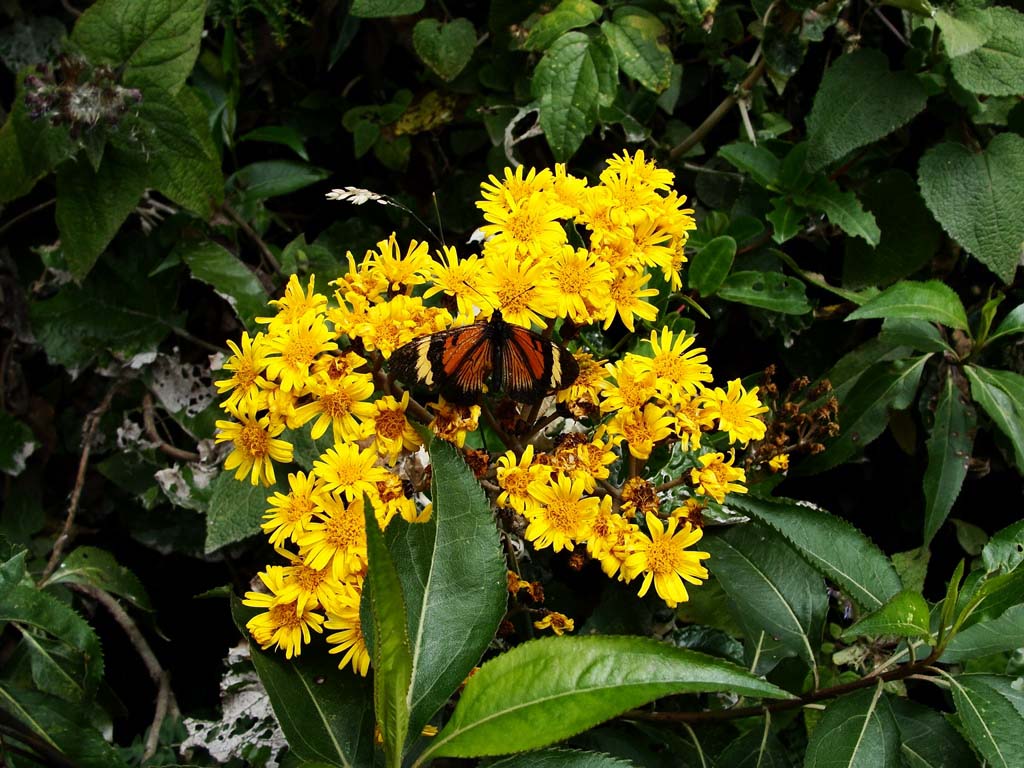
Flora Gallery
- How to get
- Distances
- Recommendations
- History
- Volcanology
How to get
Western Cordillera; 11 kilometers in a straight line northwest of Cotacachi; 24 kilometers west of Ibarra.
- Normal Approach "Cuicocha": Leaving from Otavalo; a few kilometers to the north is the detour to Cotacachi. Take this detour and continue until you reach Cotacachi, pass the town and continue until the Cuicocha Lagoon. The Cotacachi Cayapas Ecological Reserve control post is next to the lagoon. At this point, you must take the ballasted road that goes up to the Cotacachi antennas, since the hike to the summit begins precisely at these antennas. This road is closed to all vehicles, you are only allowed to pass through with a permit'ssued by the Reserve, which makes access to the mountain a little difficult. The road is usually bad maintained and recommended for 4x4 vehicles.

