Great Pita River Waterfall
Description
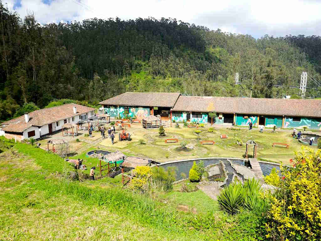
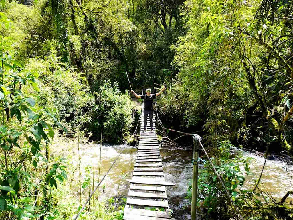
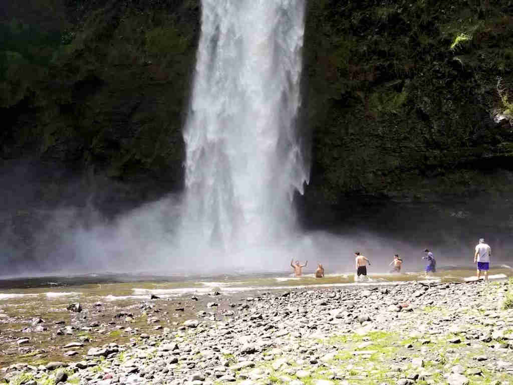
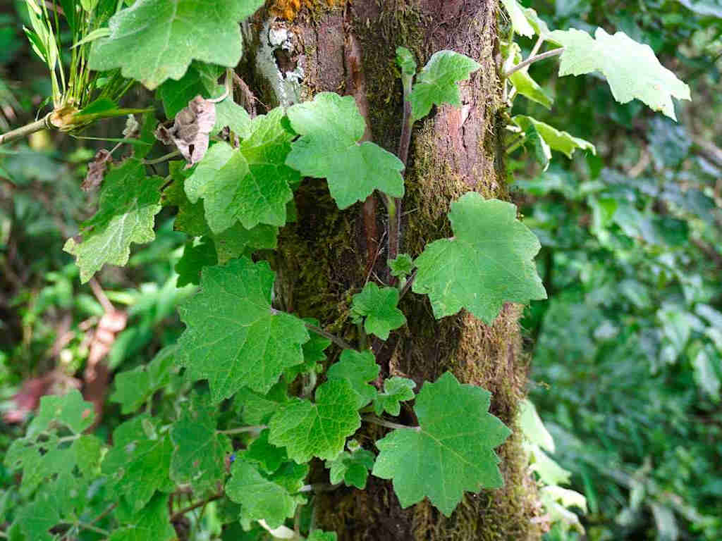
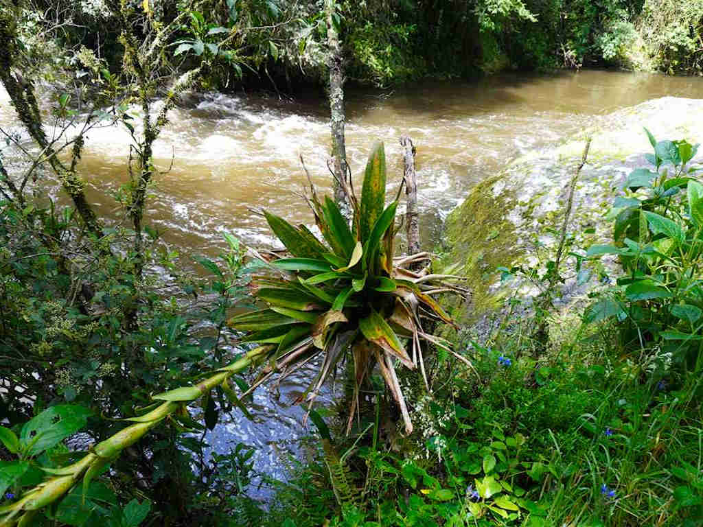
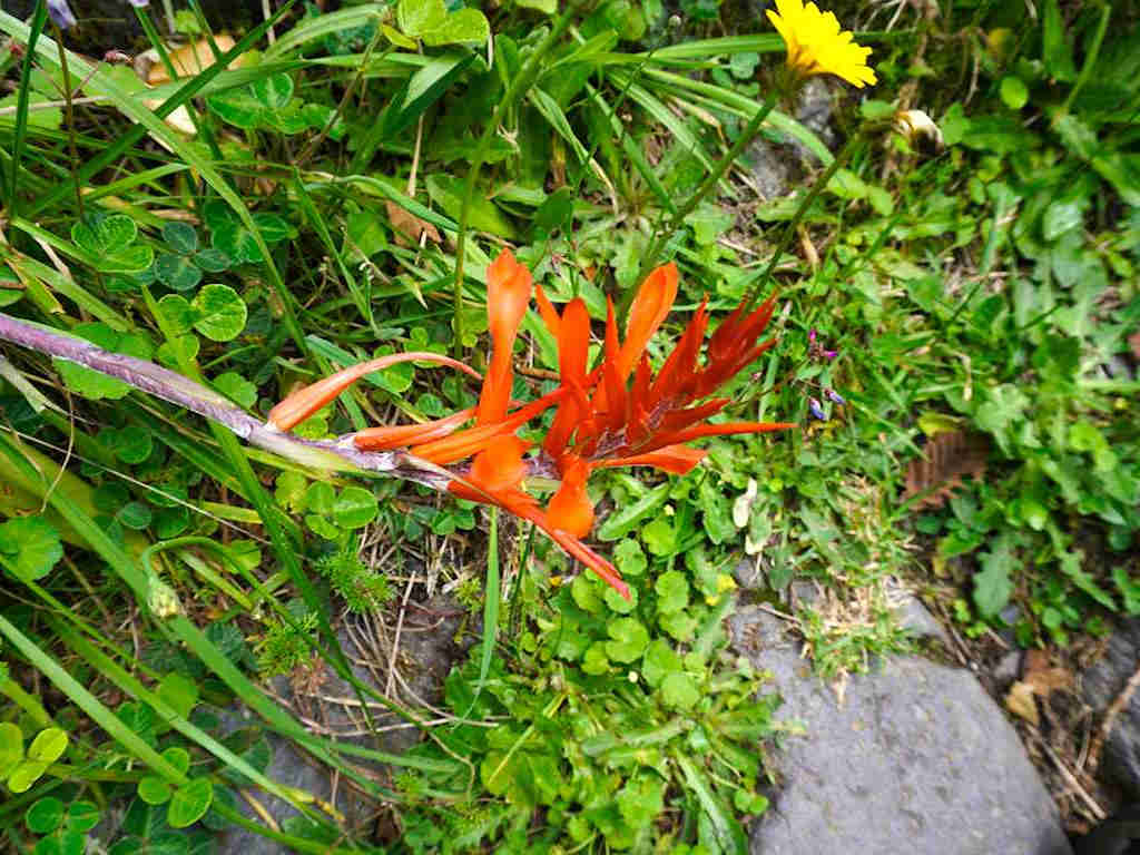
The Pita River has its origin in the Cotopaxi National Park high paramos, it descends along the high plains at the foot of the Sincholagua Volcano, to end up flowing into a canyon and forming innumerable waterfalls in its journey south, taming its waters upon reaching the plain of Los Chillos Valley. Along its route there are some farms and private ecological reserves that protect a diverse ecosystem. One of these reserves is the Refugio Ecológico Molinuco, where the picturesque trail begins towards two famous waterfalls: the largest of all, called “Gran Cascada”, and downstream “Cascada Molinuco”, which, although lower in height, it is also very attractive.
Data Table
| Place | Elevation |
|---|---|
| Molinuco Ecological Refuge | 2920m |
| Molinuco Waterfall | 2776m |
| Great Waterfall | 2908m |
- How to get
- Distances
- Recommendations
How to get
22.85 kilometers in a straight line southeast of Quito; 10.7 km from Sangolquí.
- "Sangolquí" Approach: From Sangolquí, Redondel del Colibrí, take the E35 towards Pifo for around 250 meters. Turn right onto Antonio Tandazo Street towards the Cachapamba neighborhood, and continue straight along this street until you reach the Molinuco Ecological Refuge. The road is mostly paved, except for the last section which is cobbled and can sometimes present problems for very low cars.

