
Carihuairazo Mocha Peak Trail
Description
The Mocha summit received its name from the town closest to it, it rises as a rocky peak with patches of snow to an elevation of 4960m, the second highest in Carihuairazo. This attractive hike begins at the vicinity of the town of Mocha, next to a pine forest, following an old trail between green pastures, grasslands and centuries-old polylepis forests, little frequented today, the path is still easy to follow and it reaches the foot of the rock of the Mocha Peak (eastern peak of Carihuairazo). This was precisely the route followed by Edward Whymper in his first conquest of Carihuairazo, formerly the usual route to climb this mountain, it even had a small refuge near the glaciers long ago.
Data Table
| Place | Elevation |
|---|---|
| Mocha Town | 3250m |
| Pine forest | 3800m |
| Camp | 4280m |
| Start of the glacier | 4740m |
| Mocha Summit | 4960m |
National Park
Photos
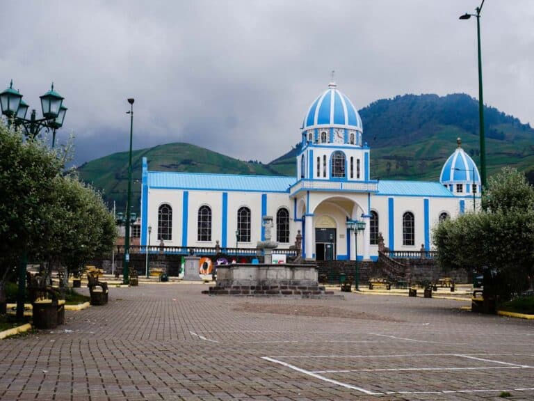
Mocha Square
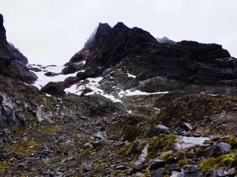
East Face of Mocha Peak
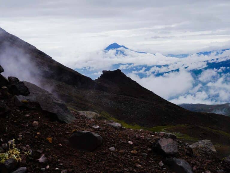
Tungurahua View
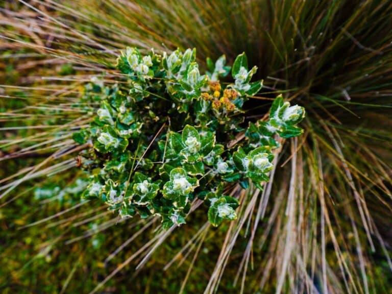
Flora
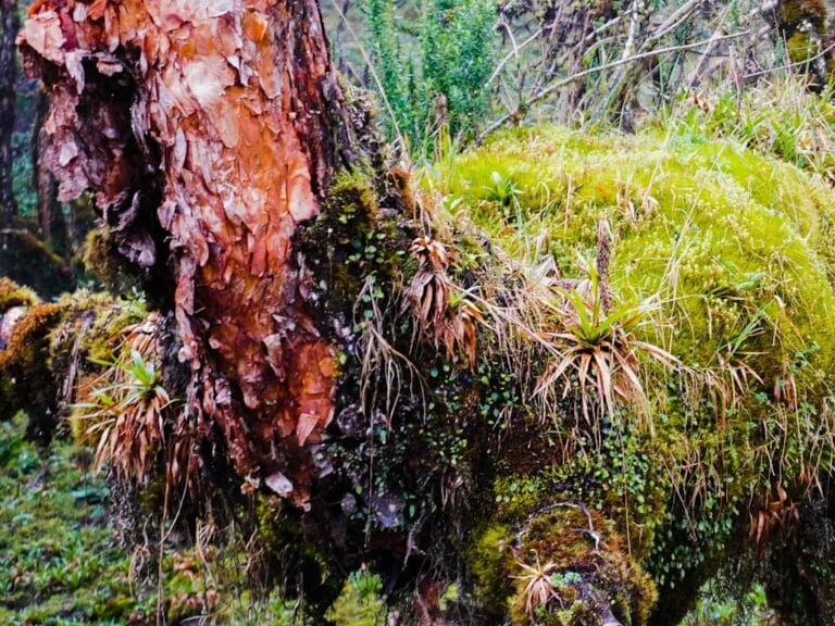
Árbol de Papel (Polylepis)
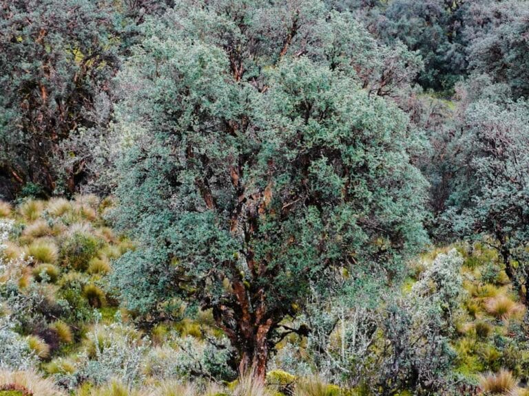
Polylepis
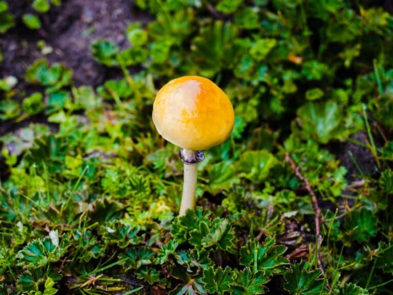
Fungus
- How to get
- Distances
- Recommendations
How to get
Western Cordillera; 21.5 kilometers in a straight line to the southwest of Ambato.
- “Mocha” Approach: Take the Pan-American highway (E35) from Ambato to the south towards Riobamba, until you reach the detour to the town of Mocha. Approximately half a kilometer from the Panamericana is Mocha, pass the town and continue until the place known as “Hatillo”. The road is paved for a good part, in its last section dirt and can be muddy and difficult. The hike begins next to a pine forest.
