Lloa – Mindo Trail
Description
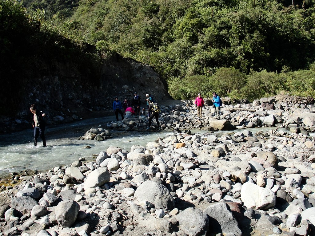
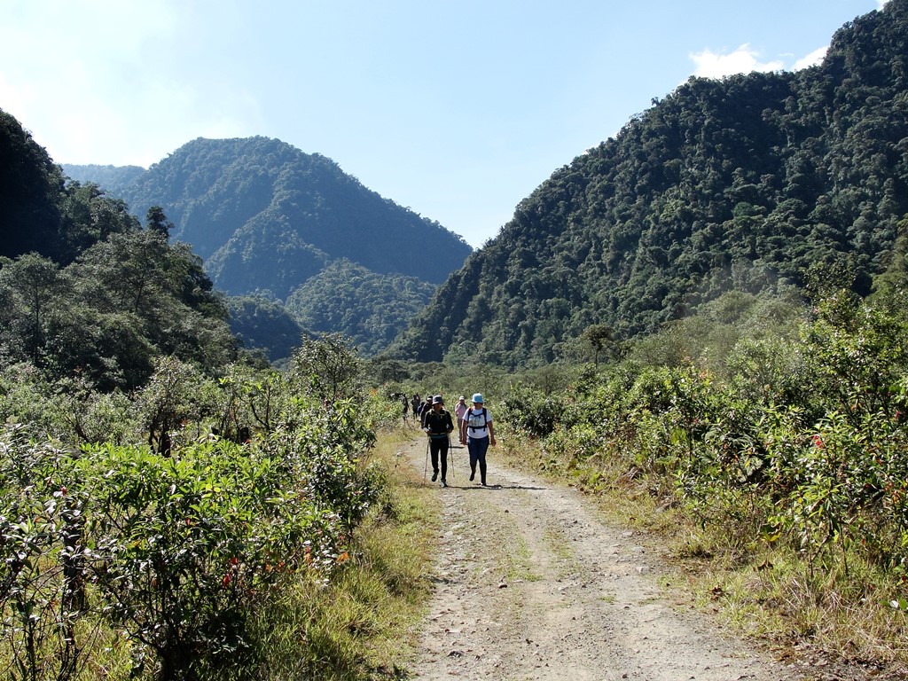
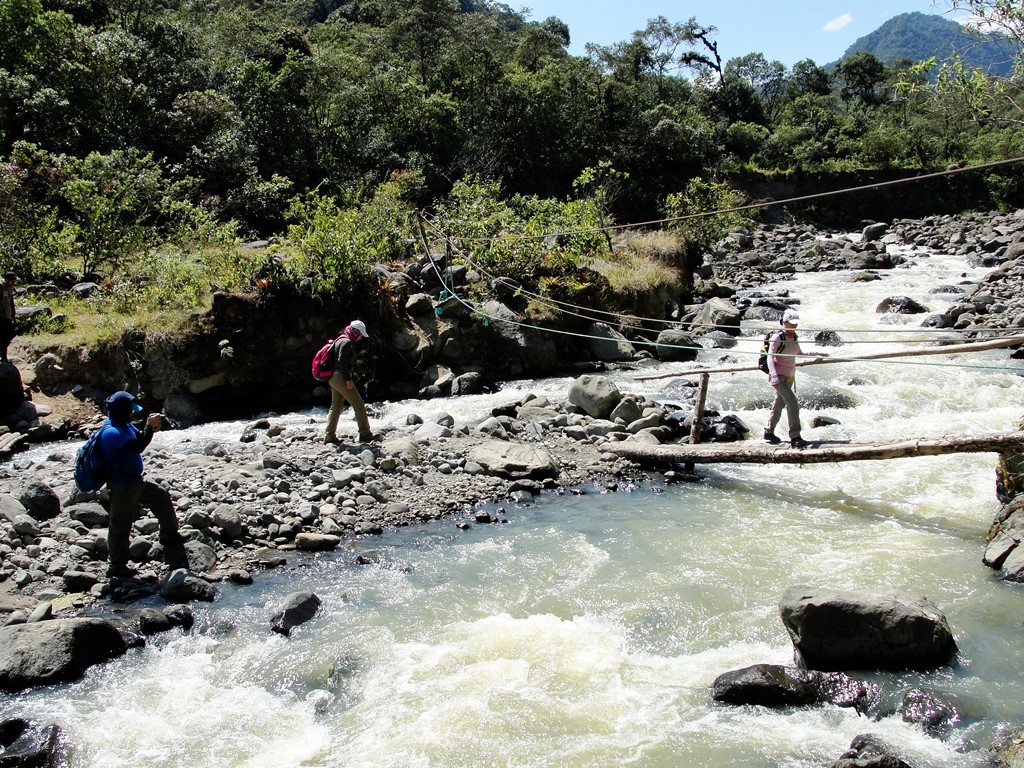
The Lloa - Mindo trail starts to the west of Quito, southwestern area of the Guagua Pichincha Volcano. It's an ancient trail, probably pre-Hispanic, that connected the mountains to the coast, starting from the andean town of Lloa and arriving at the Mindo jungle. At present it has become customary to hike this trail in the summer months, a single day and the shortest route ignoring the vehicular road sections. The trail begins in the subtropical forest at the foot of the Guagua Pichincha volcano, cross the Cristal river and the floor of rocks that are the natural debris of the lahars and pyroclatic material from the eruptions of the volcano whose crater is open to this side. Later, the path crosses the Cinto River through a rustic wooden bridge and continues down in the middle of an exuberant nature, going down through this great biodiversity area always following the margin of the Cinto River until finally reaching the vehicular bridge where this hike is currently considered to end.
Data Table
| Place | Elevation |
|---|---|
| Lloa | 3088m |
| Trail Start | 2370m |
| Cristal River Crossing | 2102m |
| Cinto River Crossing | 1872m |
| Cinto River Bridge (End of trail) | 1370m |
| Mindo | 1257m |
National Park
- How to get
- Distances
- Recommendations
How to get
Western Cordillera; Start of the trail 13.5 kilometers in a straight line west of Quito.
- “Lloa” Approach: The road to LLoa is located in the south of Quito, La Mena 2 neighborhood, Angamarca street. At this point it's possible to take a bus to this town. In Lloa you can rent a pickup truck - taxi (it's not always easy to find them) that will take you along a road initially paved and then ballasted, descending in a western direction until it ends up turned into a mule trail where the hike begins.


