
Casitagua Volcano
Description
The Casitagua volcano rises on the equator very close to Quito, closing on the western side the Pomasqui Valley and the towns of Pusuqui and San Antonio de Pichincha. The Pomasqui area is arid, as is the Casitagua volcano, with its sandy slopes heavily eroded and covered with semi-desert vegetation, except for the final summit dome, which is upholstered with Andean scrub and various trees and shrubs resulting from some reforestation campaigns. The Casitagua caldera appears open to the west, with an approximate diameter of 7 kilometers, sheltering some agricultural and grazing lands.
Data Table
| Place | Elevation |
|---|---|
| Highest Summit | 3514m |
| "El Gavilán" Hill | 2630m |
| "Mitad del Mundo" Monument | 2485m |
| Caldera floor | 3000m |
Photos
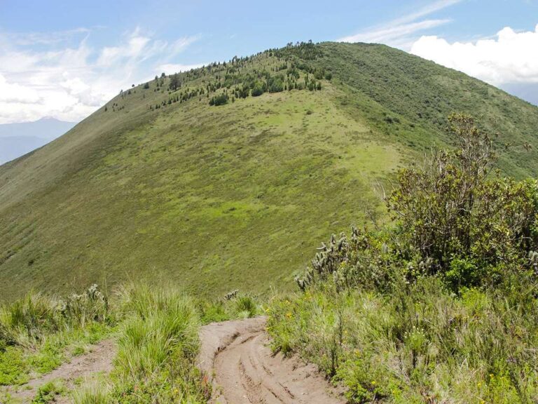
Casitagua
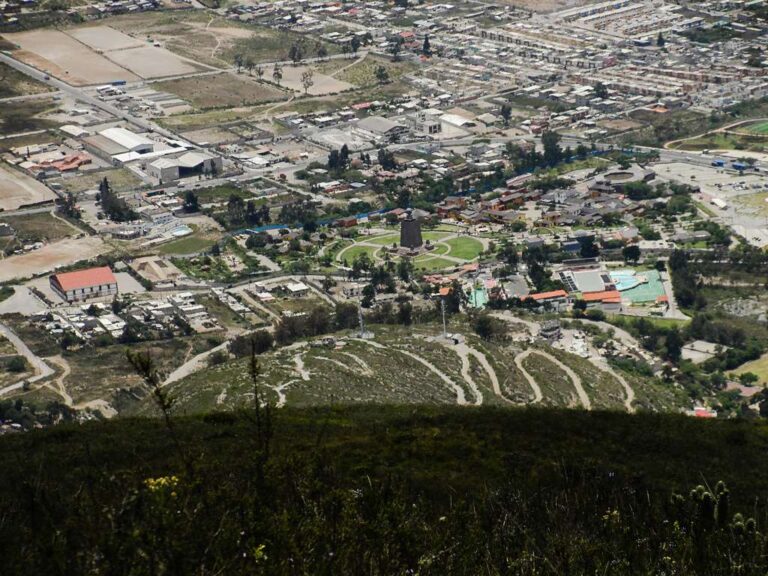
Mitad del Mundo Monument
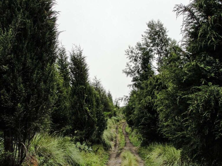
Forest near the summit
Photo Gallery
Climbing and Hiking
- Casitagua Summit from El Gavilán
- Casitagua Summit from the Middle of the World Monument
- Summit starting at Juan Bautista street
- Summit from Pusuquí Chico Alto neighborhood
- Trekking Nono - Casitagua
- Trekking Casitagua - Ruco Pichincha
- Trekking Casitagua - Pululahua
- Descent to the Pululahua crater
- Click for more information
Flora
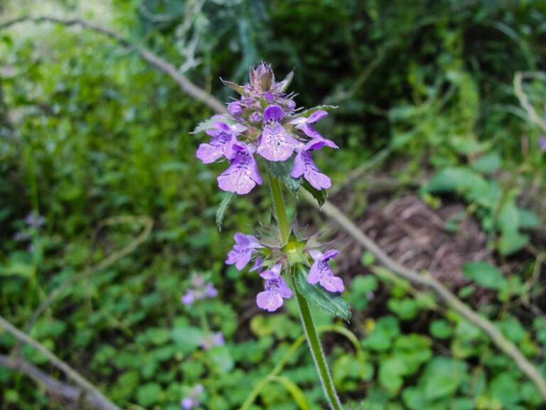
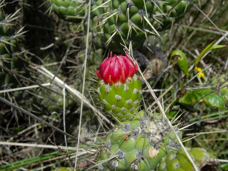
Stachys elliptica
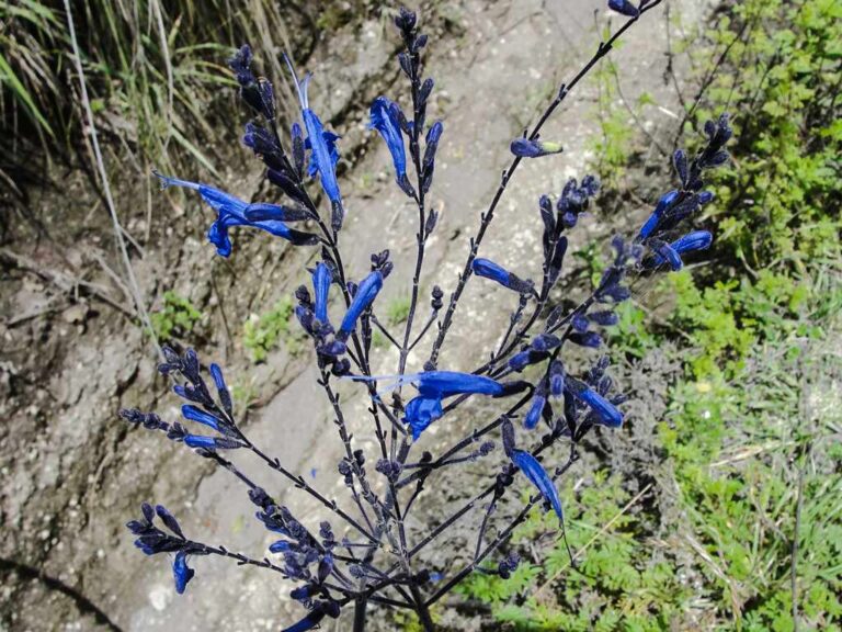
Salvia scutellarioides
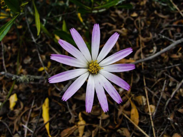
Onoseris hyssopifolia
Flora Gallery
- How to get
- Distances
- Recommendations
How to get
Western Cordillera; 14 kilometers in a straight line north of Quito; 4 km from the "Mitad del Mundo" Monument. There are some routes to climb the Casitagua; however, in this guide, only one will be mentioned:
- "El Gavilán" Approach: From Quito take the highway to the "Middle of the World" (north), passing through the "Mitad del Mundo" roundabout, continue for other 5 kilometers on the E28 motorway towards Calacali, until you come to an unmarked turnoff on the left that goes to the Gavilan hill, an additional kilometer on ballast to reach the foot of the hill where this walk usually begins.
