
Chiles Volcano
Description
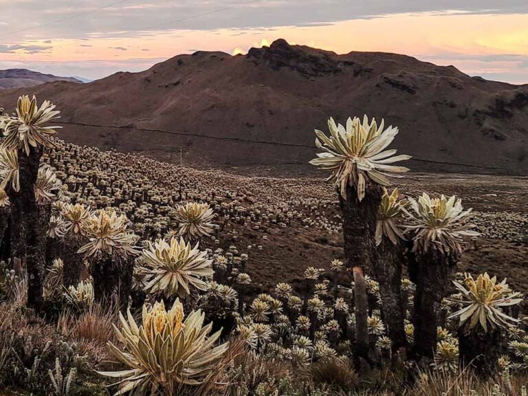
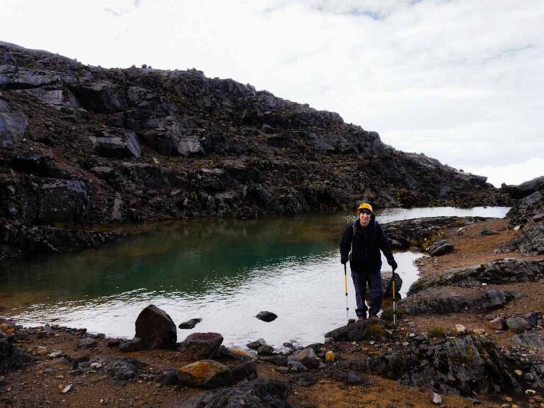
The Chiles Volcano is located right on the northern frontier of Ecuador, bordering Colombia. It's one of the main attractions of the El Ángel Ecological Reserve, rising in the middle of a sea of frailejones unique in Ecuador, which gives a very special flavor to this mountain. Chiles has been the talk of recent times due to its volcanic activity and the frequent seismic swarms that come from its bowels, which suggests that at some point, perhaps not too far away, it'll erupt again. Around the volcano there are some thermal water sources that are only a sample of the internal heat of these lands, sometimes channeled into pools, as is the case of the Aguas Hediondas Complex, very rich in sulfur. There are also some turquoise lagoons at the foot of Chiles, a very typical hue of the sulfur they contain, such as the Lagunas Verdes del Chiles.
Data Table
| Place | Elevation |
|---|---|
| Highest Summit | 4775m |
| Summit 1 | 4757m |
| Summit 2 | 4743m |
| Tulcán | 2960m |
| Chiles Refuge | 4142m |
| Lagunas Verdes | 3960m |
National Park
Photos
El Angel Ecological Reserve
Gaps in the way
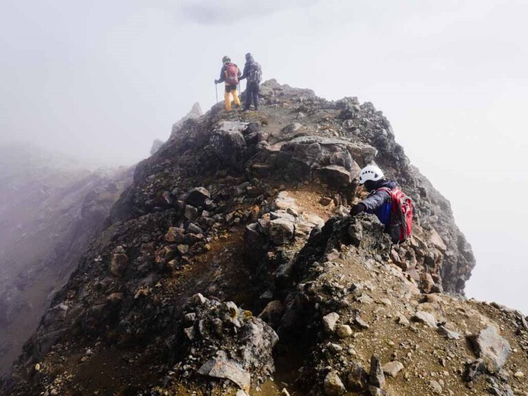
Chiles Summit
Photo Gallery
Climbing and Hiking
Starting at the detour to the Chiles antenna:
- Chiles Summit. Low difficulty.
- Cerro Negro de Mayasquer Summit. Low difficulty.
Flora
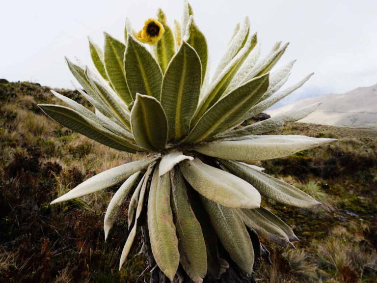
Frailejón (Espeletia Sp)
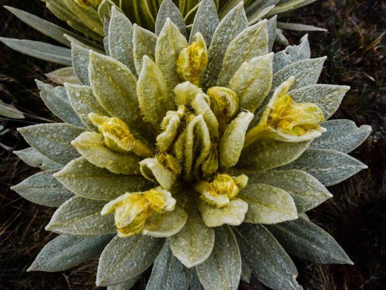
Espeletia Sp
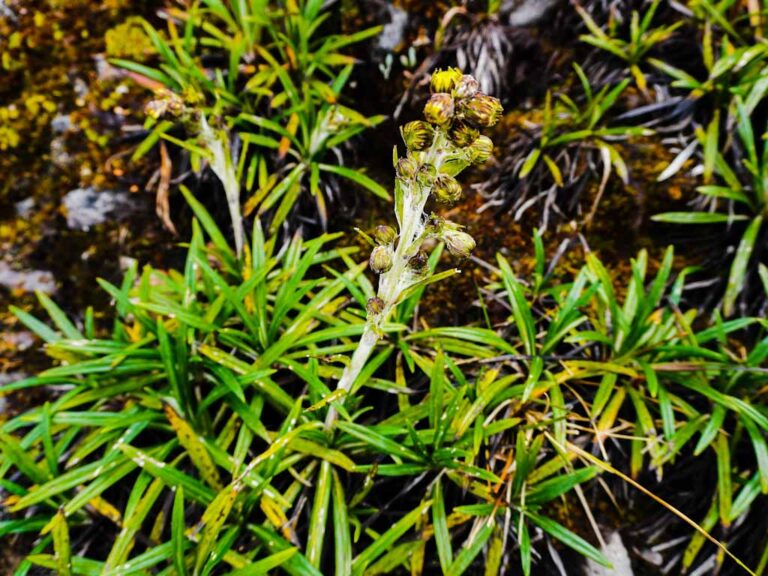
Senecio culcitioides
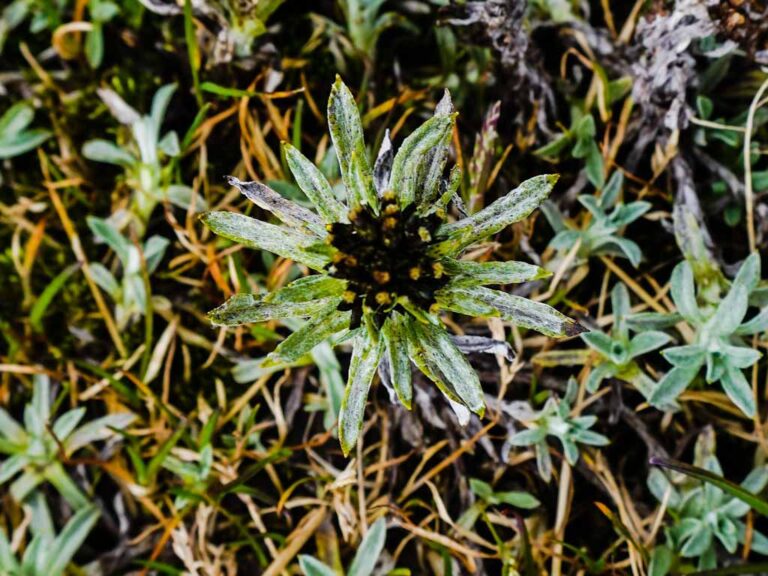
Flora Gallery
- How to get
- Distances
- Recommendations
- Volcanology
How to get
Western Cordillera; 24.5 kilometers in a straight line west of Tulcán.
- Normal Approach "182 road, Tufiño - Maldonado": Leaving Tulcán, take road 182 to the west that leads to Tufiño and Maldonado. The road is paved and ballasted for approximately 35 kilometers until it reaches the foot of the Chiles Volcano. This road is appropriate for any type of vehicle. You can park next to the detour that leads to the antenna and the refuge, here starts the hike to the summit.
