
Saraurco Peak
Description
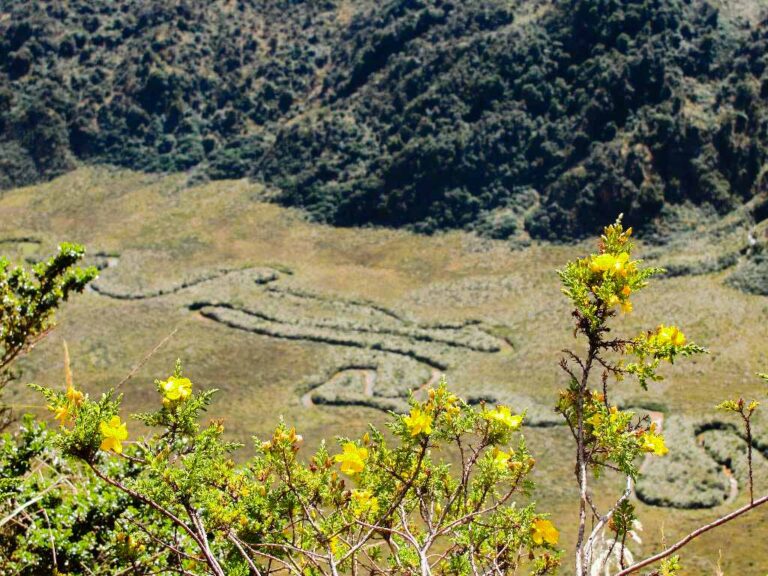
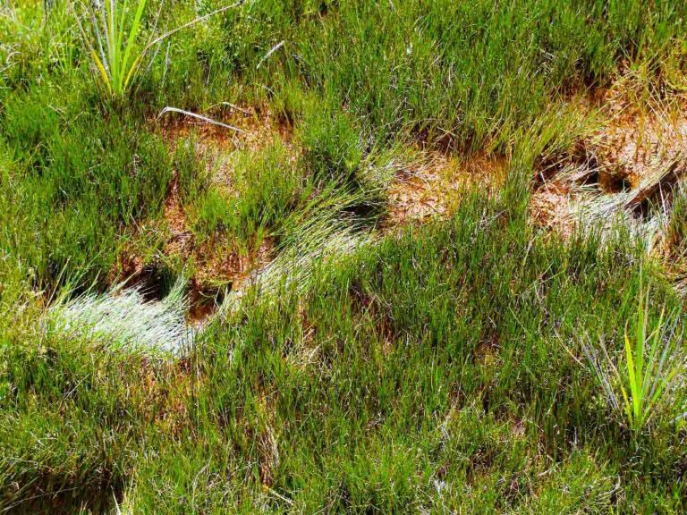
Saraurco is a peak located to the south-east of the Cayambe volcano, within the Cayambe Coca National Park. This rarely visited mountain rises on the eastern margins of the Andes mountain range, in a remote, beautiful and wild corner of moorland. Despite its small elevation of 4676m, the Saraurco still preserves some of its glaciers, which not long ago reached a level lower than 4300m, according to Stübel's notes around 1870, something completely unprecedented for Ecuadorian geography. At present, it's possible to climb to the Highest Summit without having to walk on glacier, although it's most likely that you will get some sections of snow interspersed with small walls to climb, mostly of good rock and without major difficulties. These rocks are mainly metamorphic, with many schists and quartz, a clear sign of their origin in an area of great pressure and heat deep in the earth. This constitution makes Saraurco one of the very few Ecuadorian mountains that don't have a volcanic origin but rather a tectonic one. Sara urku means in the Quichua language "Corn Mountain", perhaps no one will ever know why the ancients called it that, what we can do is marvel, admiring the white patches of some of its quartz rocks that look like blocks of ice, covered by a tapestry of moss in shades of green - orange, and the many streams that jump between their rocks to end in small lagoons full of magic and mystery. That is precisely the greatest wealth of Saraurco, its beautiful and pristine, wild nature, shelter of a great variety of flora and fauna, among which you can count deer, bears, tapirs and pumas. A tough mountain, for the toughest, and with a particularly rainy and inhospitable climate most of the year; although it will never fail to reward with his charm the few intrepid who venture through its lands.
Data Table
| Place | Elevation |
|---|---|
| Sarayo | 3750m |
| "Redonda" Lagoon | 3932m |
| Volteado River | 3500m |
| Camp 1 | 3750m |
| Camp 2 (Arista de Los Venados) | 4100m |
| Highest Summit | 4676m |
National Park
Photos
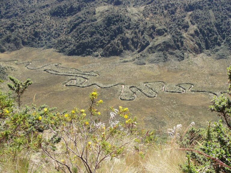
Volteado River
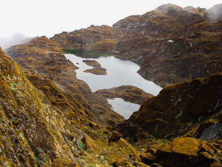
Lagoon between rocks with moss
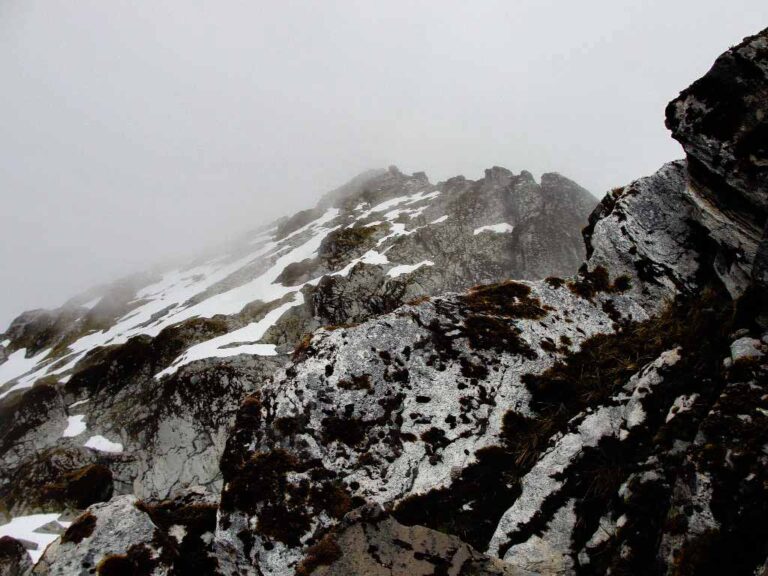
Near the Saraurco summit
Photo Gallery
Climbing and Hiking
- Sarayo - Cayambe Glacier Hike
- Cycling route: Cayambe Coca National Park Guard - Sarayo
- Cycling route: Cayambe Coca National Park Guard - Cayambe Refuge
Flora
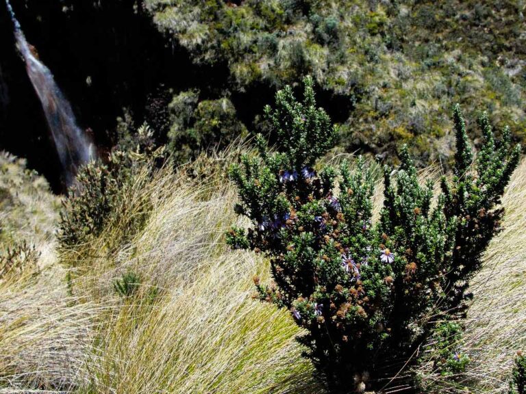
Diplostephium hartwegii
Hypericum laricifolium
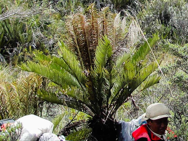
Blechum cordatum
- How to get
- Distances
- Recommendations
- History
How to get
Eastern Cordillera; 64 kilometers in a straight line northeast of Quito; 28 km southeast of Cayambe.
- Normal Approach "Road to the Cayambe Refuge": Starting from Cayambe follow the road to Piemonte Alto, where the access control to the Cayambe Coca National Park is currently located, pass the control and continue for about 100 meters to take the detour to the right. This primitive road leads to the swampy valley of "La Dormida". Nowadays, with a 4x4 you can reach the place known as "Sarayo", where the approach hike to Saraurco begins.
