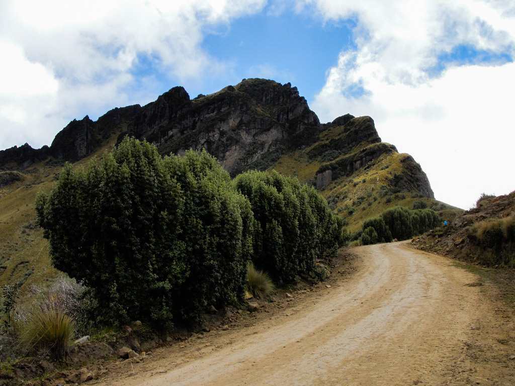
Yanahurco (Mojanda) Peak
Description
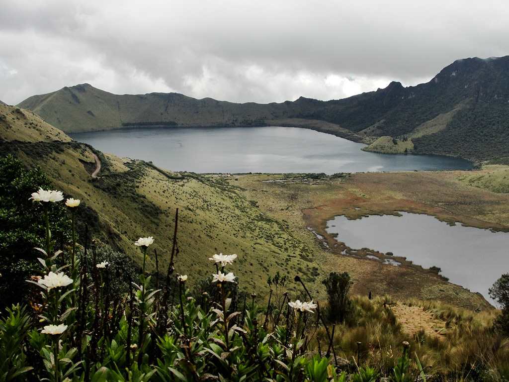
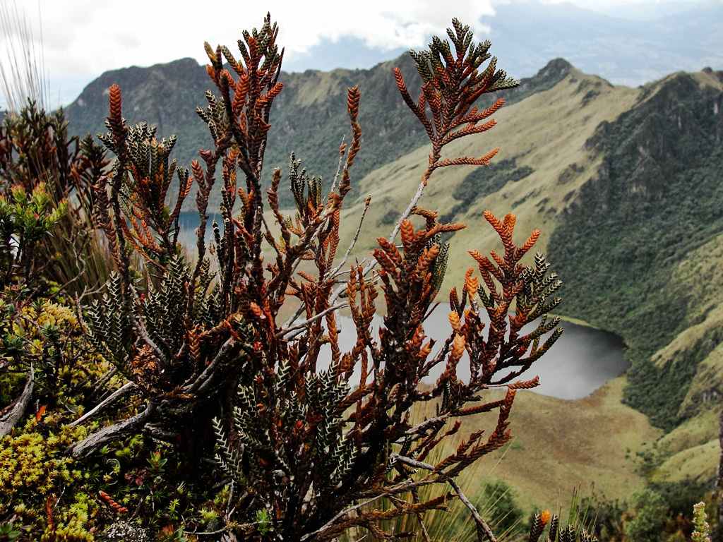
Mojanda is an inactive stratovolcano whose caldera is occupied by three lagoons. Laguna Grande (Caricocha) with 2km of approximate diameter and perimeter of 7km. La Laguna Negra (Huarmicocha) with 600 meters long and 300 meters wide. La Laguna Chiquita (Chiriacu) with 360 meters diameter. Laguna Grande is surrounded by some peaks, among which the most outstanding are the Yanahurco to the East and the Fuya Fuya to the West.
Data Table
| Place | Elevation |
|---|---|
| Highest Summit | 4280m |
| Summit 1 | 4275m |
| Lagoons Viewpoint | 4047m |
| Tabacundo | 2884m |
Photo Gallery
Climbing and Hiking
- Climb to the summit of the Fuya Fuya peak
- Climb to the summit of the Yanahurco peak
- Laguna Grande loop trekking
- Pirámides de Cochasquí to Laguna Chiquita trail
- Malchinguí to Laguna Chiquita trail
- Yanahurco loop trail
- Atahualpa - Laguna Grande trail
- Laguna Grande loop trekking following the summits ridge
- Click for more information
Flora Gallery
- How to get
- Distances
- Recommendations
How to get
Nudo de Mojanda Cajas; 38 kilometers northeast of Quito; 10 km northwest of Tabacundo.
- Normal Route Tabacundo: Arriving at Tabacundo by the Panamerican Hw from Quito, you will find a sign on the left (towards the north) that indicates the road to the "Lagunas de Mojanda". The road is ballasted and increasingly difficult as it approaches the paramo, more advisable for 4x4 or high traction vehicles. To ascend to the Yanahurco, you should start the hike at the Lagoons Viewpoint.
- Otavalo Route: This is the easiest route for the Laguna Grande in any vehicle, also to climb the Fuya Fuya. Arriving at Otavalo by the Panamericana from Quito, take a road to the southwest (left) that goes to the "Lagunas de Mojanda". The road to Mojanda is cobbled and allows the access for any vehicle to the Laguna Grande. In winter time it may be impossible to continue towards the Yanahurco. One option would be to start hiking from this point adding about 45 minutes to 1 hour to the ascension time to the summit.
- Malchinguí Route: This is the most difficult approach, recommended only for 4×4 vehicles and good drivers. Take the road Quito - Guayllabamba - San José de Minas, just past the Protected Forest of Jerusalem, it deviates to the right by pavement until the town of Malchinguí. The road to Mojanda starts at the central square and continues all the way up following a cobbled, ballasted and then muddy road. Almost arriving at the paramo, on the descent that passes through the hacienda house (a small house), it's taken to the left. This road reaches the Laguna Chiquita and from there with much difficulty the Lagoons Viewpoint.

