
Agua y Vida Hiking Trail
Description
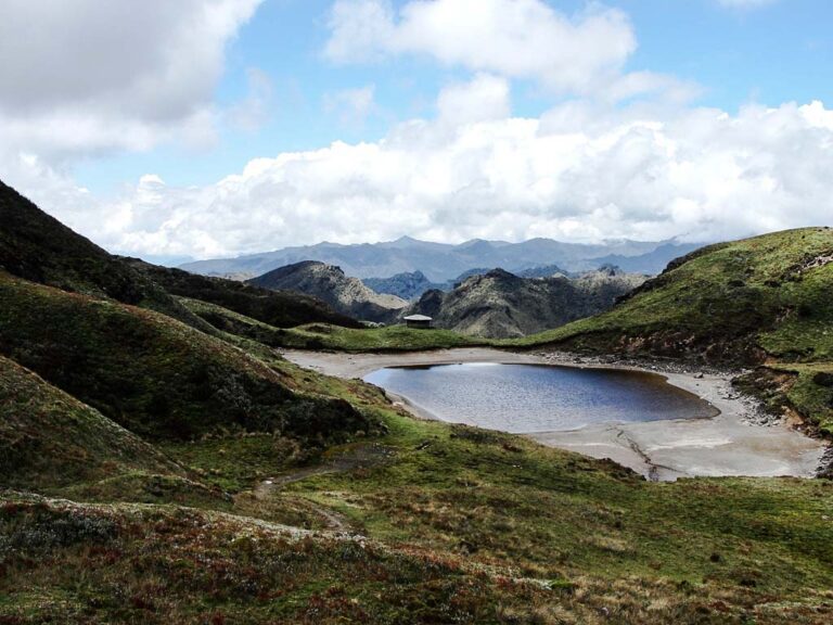
A beautiful hike through a section of the Cayambe Coca National Park, starting at the Papallacta antennas and ending at the Papallacta Hot Springs. As you follow this hiking trail through the magnificent Papallacta paramo, you will be able to contemplate beautiful views of many Andean lagoons, including Parcacocha, Anteojos and Baños; you will pass by the “Cascada Milagrosa” Waterfall and then arrive to the Cayambe Coca National Park Papallacta Access Control.
Data Table
| Place | Elevation |
|---|---|
| Virgen de Papallacta | 4000m |
| Papallacta Antennas | 4237m |
| Parcacocha Lagoon | 4020m |
| Baños Lagoon | 3950m |
| Cayambe Coca N.P. Papallacta Entrance Control | 3704m |
| Papallacta Thermal Springs | 3311m |
National Park
Photos

Agua y Vida Hiking Trail
Near the Papallacta Antennas

Cascada Milagrosa Waterfall
Climbing and Hiking
- Antennas - Boyeros Lagoon (1 day)
- Antennas - Ninarumi Summit (1 - 2 days)
- Antennas - Parcacocha Lagoon (1 day)
- Antennas - Yuyos Lagoon (1 day)
- Antennas - Nunalviro Lagoon (2 days)
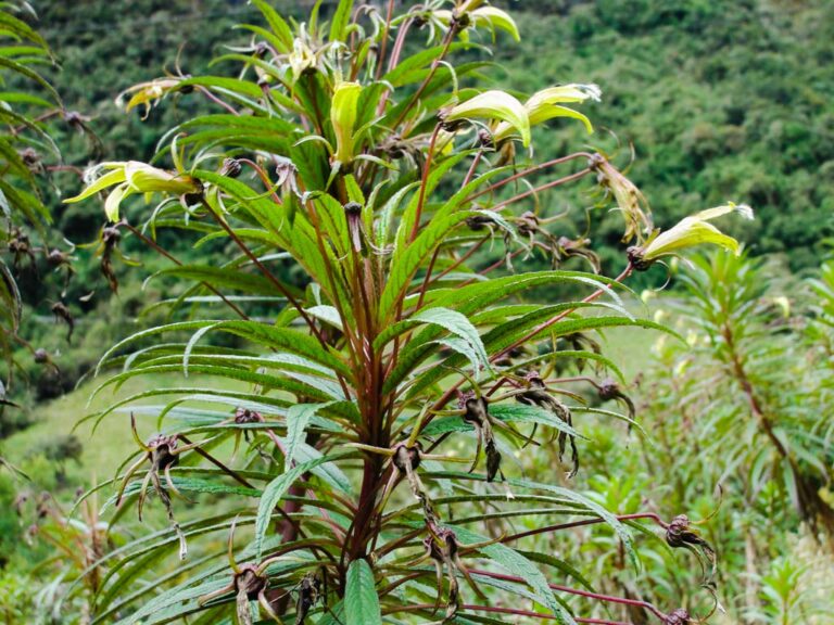
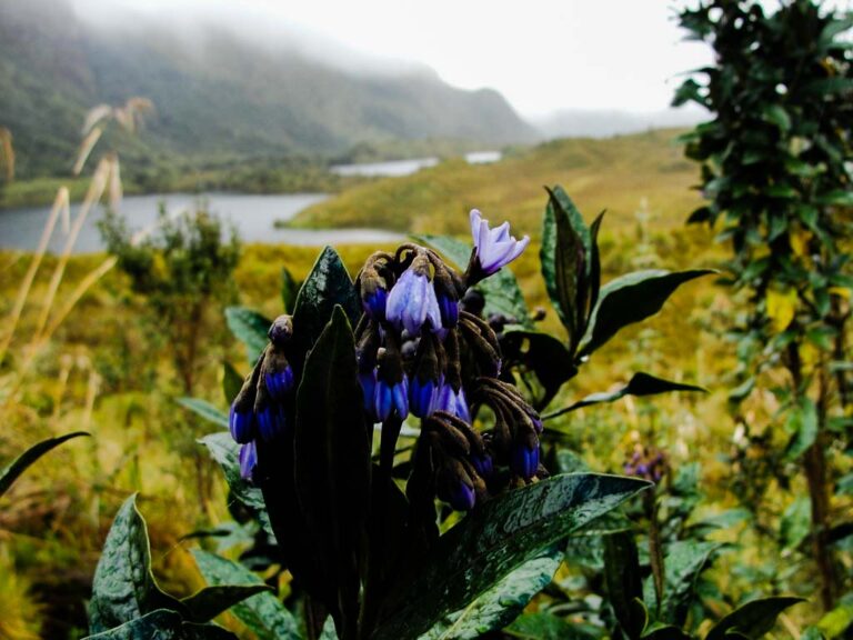
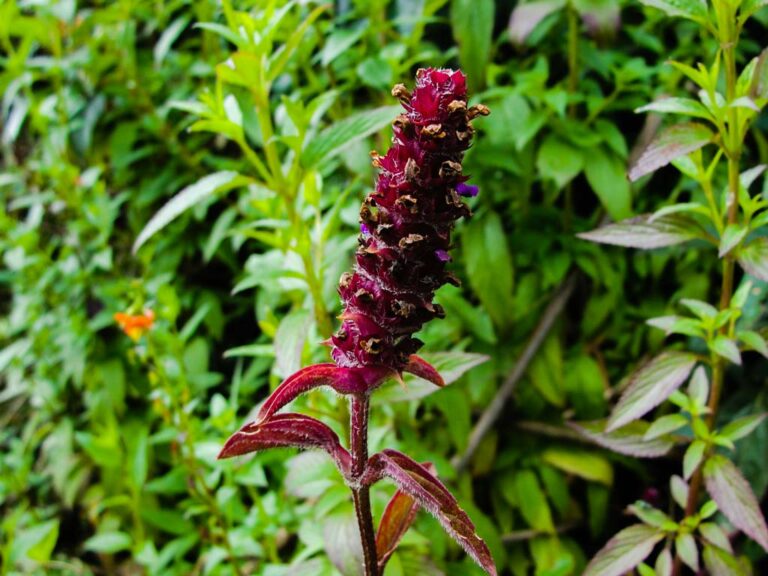
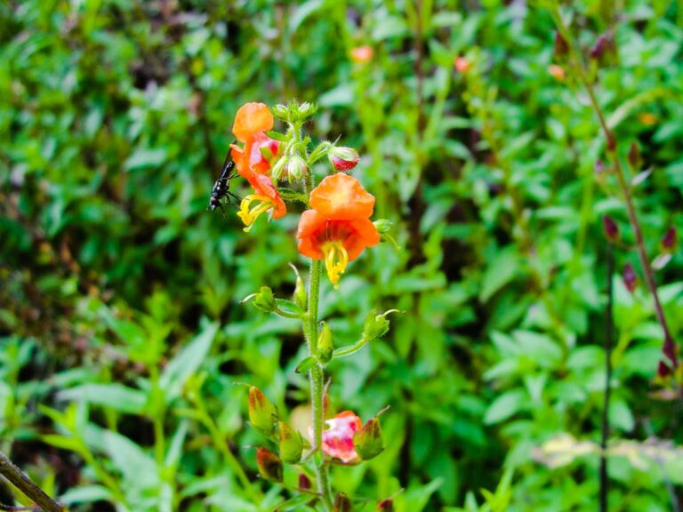
Flora
Siphocampylus sp.
- How to get
- Distances
- Recommendations
How to get
Eastern Cordillera; 38 kilometers in a straight line east of Quito.
- Normal Approach “Papallacta Antennas”: Take the Pifo - Papallacta (E20) highway to the east until you reach the highest elevation at 4000 meters, location known as “La Virgen”; There is a turnoff on the left that goes up to the Papallacta Antennas; this is the place where the “Sendero del Agua y Vida” hiking trail begins.
