
Boyeros Lagoon Trail
Description
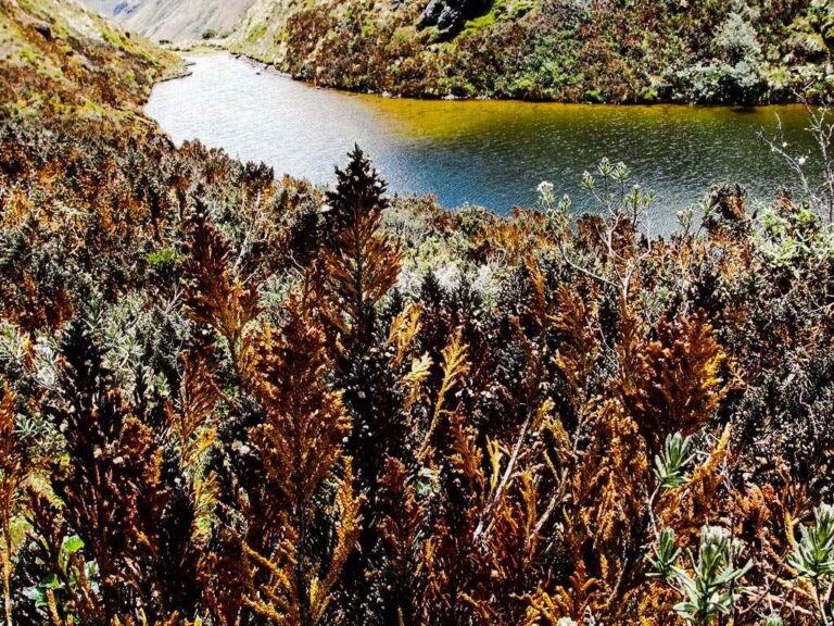
A mysterious corner of the paramo, whose name is recognized by ancient trout fishermen who returned from this lagoon with the booty of enormous, almost Jurassic fish; there aren't so many nowadays, much less of that legendary size, what there is, is a beautiful landscape of paramo wrapped with dark rocky peaks that are frequently cloudy.
Data Table
| Place | Elevation |
|---|---|
| Virgen de Papallacta | 4000m |
| Papallacta Antennas | 4237m |
| Boyeros Lagoon | 3340m |
National Park
Photos
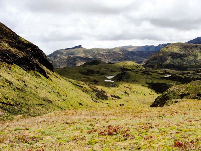
Way to Boyeros
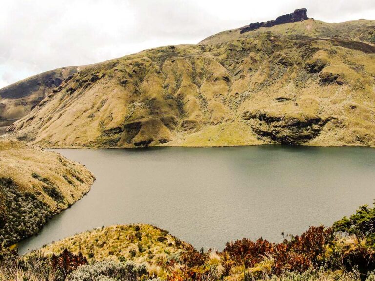
Boyeros, Ninarumi in the background
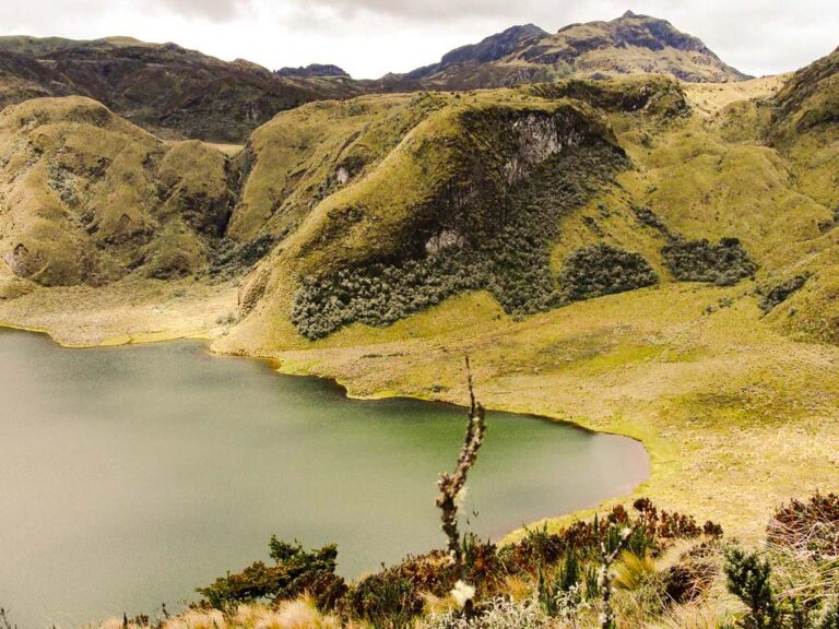
Boyeros and the Papallacta Peaks
Climbing and Hiking
- Antennas - Boyeros Lagoon (1 day)
- Antennas - Ninarumi Summit (1 - 2 days)
- Antennas - Parcacocha Lagoon (1 day)
- Antennas - Yuyos Lagoon (1 day)
- Trekking del Agua: Antennas - Parcacocha Lagoon - Baños Lagoon - Reserva Cayambe Coca Refuge - Papallacta Thermal Springs (1 day)
- Antennas - Nunalviro Lagoon (2 days)
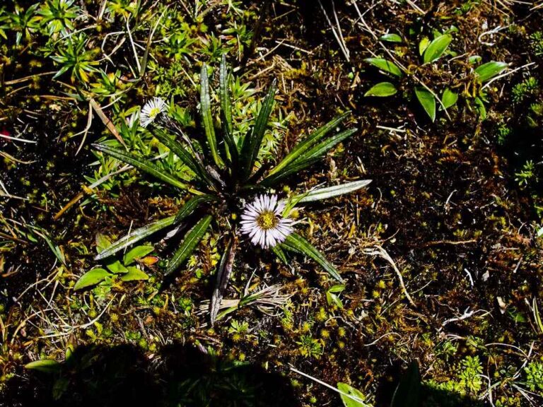
Flora
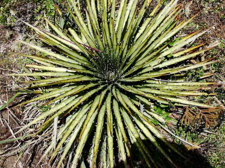
Achupalla
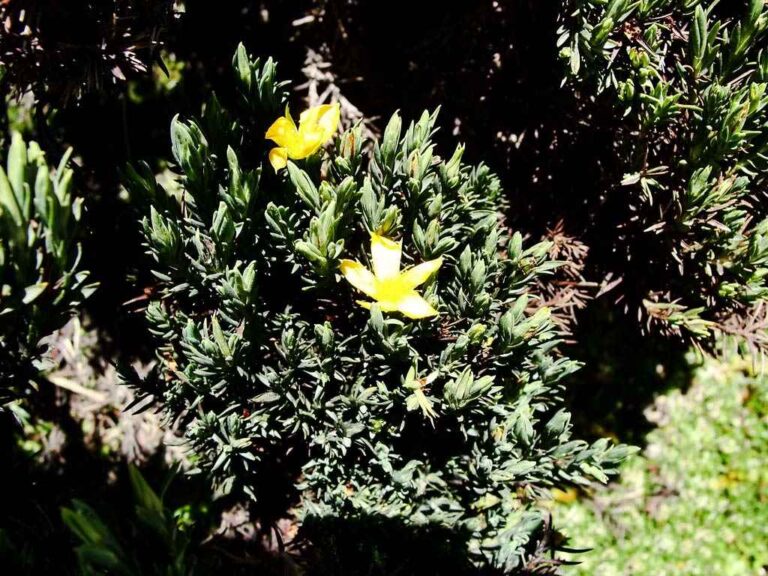
Loricaria thuyoides
- How to get
- Distances
- Recommendations
How to get
Eastern Cordillera; 37 kilometers in a straight line east of Quito.
- Normal Approach “Papallacta Antennas”: Take the Pifo - Papallacta (E20) highway to the east until you reach the highest elevation at 4000 meters, location known as “La Virgen”; There is a turnoff on the left that goes up to the Papallacta Antennas, where the hike to the Boyeros Lagoon begins.
