
El Tablón – Tumiguina Lagoon Hiking Trail
Description
“El Tablón - Tumiguina Lagoon Hiking Trail” is the first day of a mythical trail in the Ecuadorian Andes: “El Trekking del Cóndor”. This section is an engaging hike through picturesque, if muddy and rough, paramo, following a path that can be hard to spot at times, appearing then suddenly disappearing into a quagmire, only to reappear, if you have that mountaineering instinct that guide you. The Tumiguina Lagoon (or Volcano Lagoon) was formed when a small volcano erupted spewing a thick lava flow that covered the passage of the stream that meandered deep in this valley, pooling its waters and eventually becoming a lagoon.
Data Table
| Place | Elevation |
|---|---|
| El Tablón | 3615m |
| Highest point | 3875m |
| Tumiguina Lagoon (Volcano Lagoon) | 3638m |
National Park
Photos
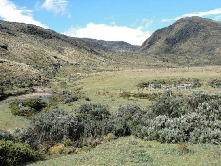
El Tambo - Tumiguina Lagoon
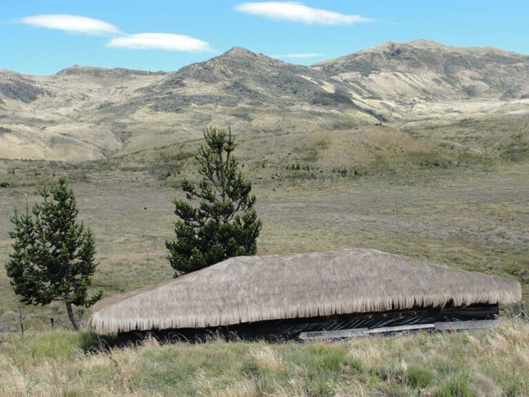
Typical “tambo” of the paramo communities
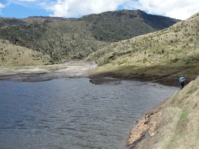
Tumiguina Lagoon (Volcano Lagoon)
Climbing and Hiking
- “El Tambo” - Tumiguina Lagoon (1 day)
- “El Tambo” - La Mica Lagoon (2 days)
- Trekking del Cóndor (“El Tambo” - Cotopaxi National Park North Control, from 3 to 4 days)
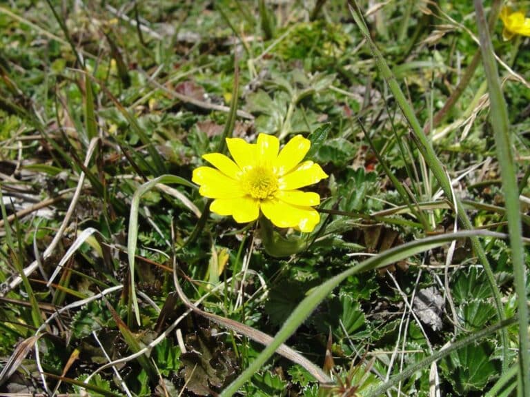
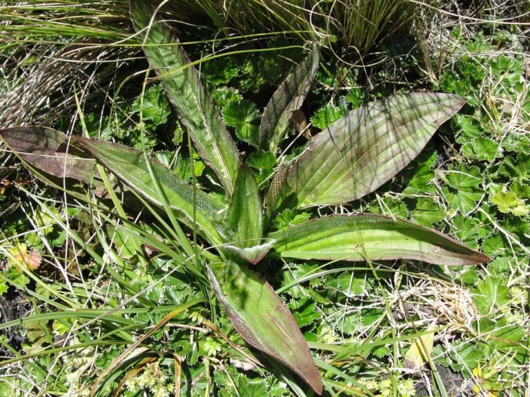
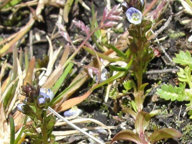
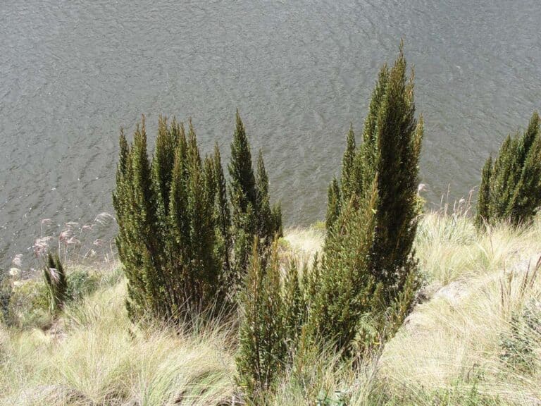
Flora
- How to get
- Distances
- Recommendations
How to get
Eastern Cordillera; 40 kilometers in a straight line to the east of Quito.
- Normal Approach “El Tambo”: Take the Pifo – Papallacta highway (E20) to the east until you reach the highest elevation at 4000 meters, a place known as “La Virgen”; continue forward for 7.7 km towards Papallacta, until you reach the community of “El Tambo”, which appears as few houses on the right side.
