
Sigchos to Isinlivi Trail (Quilotoa Loop 1)
Description
The Sigchos to Isinlivi Hiking Trail is the first stage of the Quilotoa Loop, a three-stage (day) trail that has become popular in recent years. The Quilotoa Loop starts at Sigchos and ends at the Principal Viewpoint of Quilotoa Lagoon that overlooks the town of Zumbahua. The first stage is from Sigchos to Isinlivi, which runs through a landscape of intense green, forests, and a very irregular geography. The average elevation is 2850 meters, similar to that of Quito. This section goes down from Sigchos to the Toachi River bridge, and then goes up until it reaches the Isinlivi Community, some sections following the ballast vehicular road and others following trails that serve as a shortcut. What attracts the most attention is the intense green typical of the area, the great mountains and steeply sloping ravines, and these mysterious towns that are located on the western slopes of the mountain range and far from the main inter-Andean alley.
Data Table
| Place | Elevation |
|---|---|
| Sigchos | 2878m |
| Toachi River Bridge | 2539m |
| Isinlivi | 2939m |
National Park
Photos
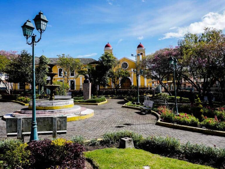
Sigchos Main Square
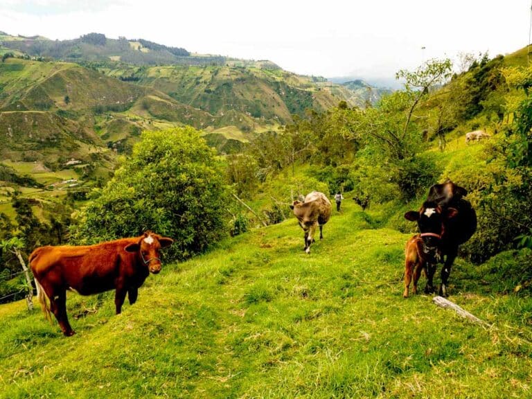
Sigchos to Isinlivi Trail
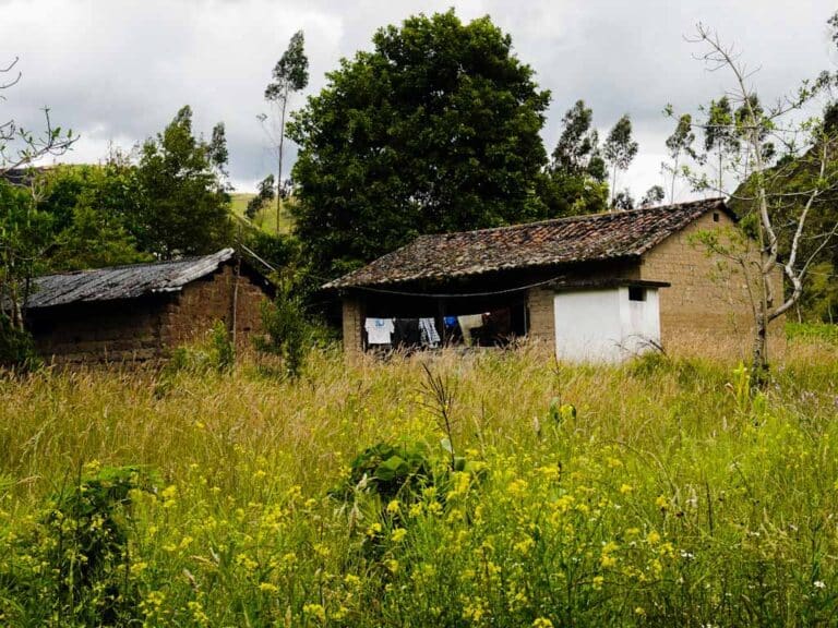
Traditional adobe house
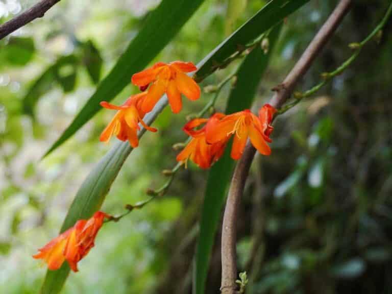
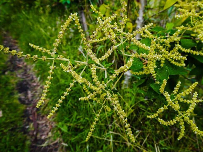
Flora
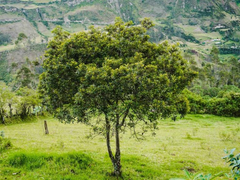
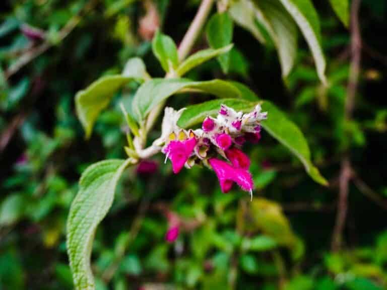
Salvia sp.
- How to get
- Distances
- Recommendations
How to get
Western Cordillera; 73.5 kilometers in a straight line to the southwest of Quito; 29 kilometers west of Lasso.
- “Sigchos” Approach: From Quito, take the Panamericana Sur highway until reaching Lasso, continue along the Toacaso - Sigchos road until you reach the town of Sigchos. The trail to Isinlivi passes near the Chapel of “Capilla Nuestra Señora del Cisne” south of Sigchos.
