Corazon Volcano
Description
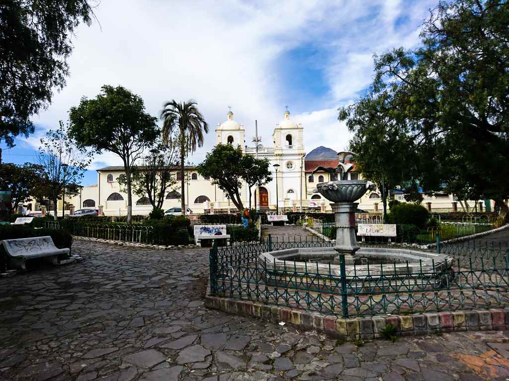
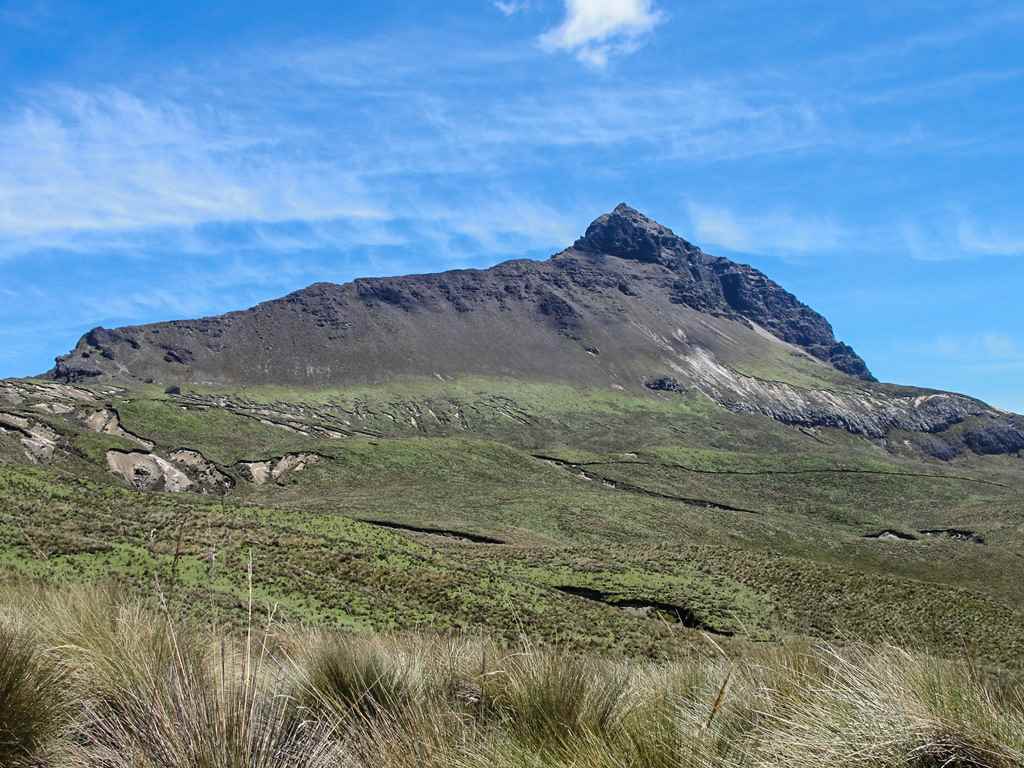
Corazon Volcano is an extinct volcano that owes its name to the “heart” shape drawn by two of its ravines when descending the north-eastern face visible from Aloag. This mountain can be climbed by beginners and is often used as a step in acclimatization to climb the highest mountains in Ecuador. It has three summits: South Summit or Máxima (4800m); Central Summit and North Summit, both of which are lower than the Máxima, although of similar elevation between them. From the Cumbre Máxima you have a magnificent view of the surrounding valleys and mountains, especially Cotopaxi and the Illinizas. The Corazón is usually covered in an attractive blanket of snow during the rainy season, providing beautiful views from the surrounding towns, especially from Aloasi and Machachi.
Data Table
| Place | Elevation |
|---|---|
| Highest Summit | 4800m |
| Central Summit | 4532m |
| Aloasi Route | |
| Aloasi Train Station | 3107m |
| Reserve Sign | 3723m |
| La Y | 4080m |
| El Chaupi Route | |
| El Chaupi | 3350m |
| South Control | 3708m |
National Park
Photo Gallery
Climbing and Hiking
 Corazon Volcano Summit Corazon Volcano Summit | Private tour | $ 160,00 |
- Corazon Summit following the Aloasi Route
- Corazon Summit following the El Chaupi Route
- Corazon Summit following the Aloag Route
- From Aloasi towards the summit and descent through the Chaupi
- Route from the Corazon to the North Illiniza
- Descent to the caldera of the Corazon volcano
- Click for more information
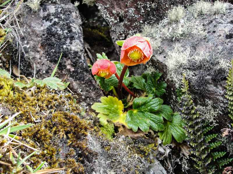
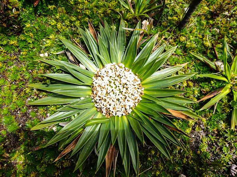
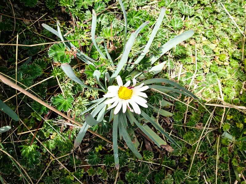
Flora Gallery
- How to get
- Distances
- Recommendations
- History
How to get
Western Cordillera; 38 kilometers in a straight line south – west of Quito; 9 km from the Panamerican Hw at Machachi. There are two main routes for approaching the Corazon Volcano:
- Normal Route "Aloasi": Reach Machachi and take the way to Aloasi, this small town is located at the foot of El Corazon volcano, continue to the "Aloasi Train Station", pass it northward for about 100 meters and take the narrow road to the left in the western direction towards the Corazon. This road is better for 4×4 vehicles, it zigzags between paddocks and haciendas, until you reach the hiking starting point at the "Reserva Ecológica Los Illinizas" sign.
- "El Chaupi" Route: From Machachi, follow the Panamerican Highway for approximately 7km to the south, take the paved way to the right towards El Chaupi town. Shortly before reaching the village, take the right road to the "Reserva Ecológica Los Illinizas" entrance control. This road could be followed beyond the control for a closer approach, better for pickup trucks or 4×4 vehicles.

