Pasochoa Volcano
Description
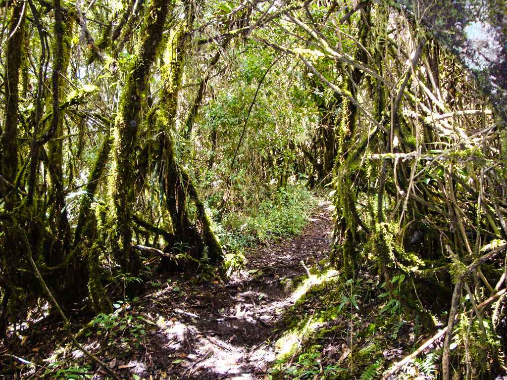
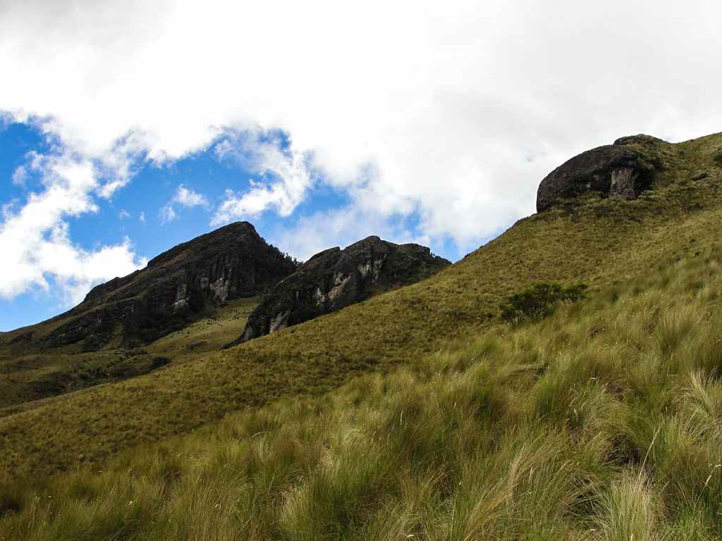
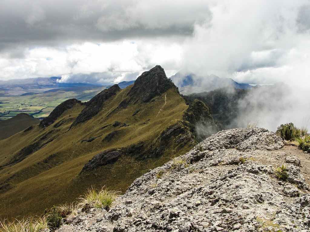
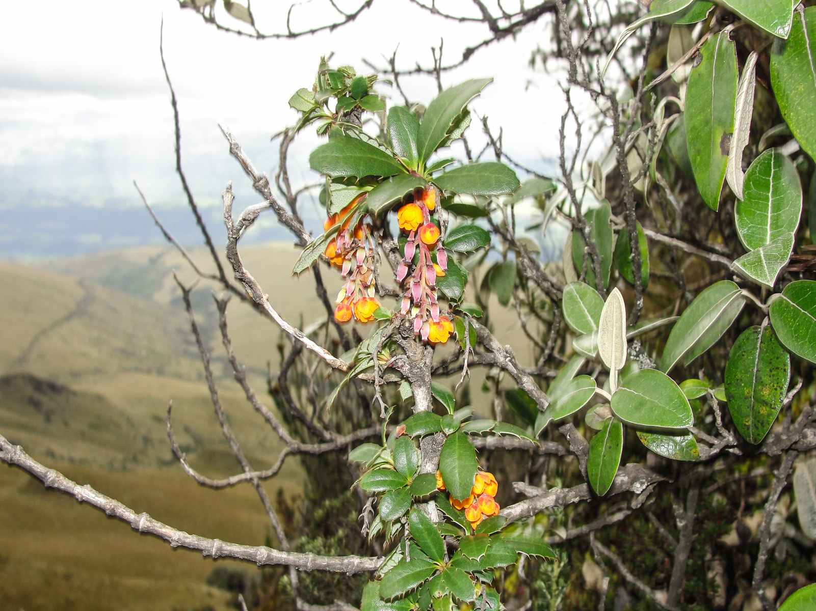
The Pasochoa is a volcano near Quito that seems to have had its last eruption some 100,000 years ago, as a consequence the caldera was opened to the west giving its current horseshoe shape. Human activity had a great impact on the animal and plant life in this area, disappearing over the years most of the native forests that were converted into livestock paddocks and agricultural areas. An exception is the practically virgin forest that remained protected within the Pasochoa caldera, its geographical difficulty prevented any attempt at conquest. Many species of flora and fauna took refuge into this forest, which have now practically disappeared from the inter-Andean valley. It was precisely in order to conserve it, that the "Bosque Protector Pasochoa" was created in 1979, initially administered by Fundación Natura, now administered by Ministerio del Ambiente, it has changed its name to "Refugio de Vida Silvestre Pasochoa". This forest is very attractive for tourism due to its great beauty and biodiversity.
Data Table
| Place | Elevation |
|---|---|
| Summit 1 | 4098m |
| Summit 2 | 4152m |
| Highest Summit | 4205m |
| Hydroelectric Route | |
| Hiking Start | 3350m |
| Base of rocks, Summit 1 | 3887m |
| "Refugio de Vida Silvestre" Route | |
| Refugio de Vida, Visitor Center | 2810m |
| Forest End | 3377m |
| Paramo ridge | 3545m |
| Summit 1 foot of the Rock | 3941m |
National Park
Photo Gallery
Climbing and Hiking
Trails in Refugio de Vida Silvestre Pasochoa:
- Sendero del Colibrí. Easy, 30min
- Amiga La Naturaleza. Easy, 30min
- Bosque para Todos. Easy, 1h
- Mayguayacu. Easy, 2h
- Palma de Cera. Easy, 4h
- Los Pantzas (Refugio V.S. Pasochoa - Summit 1)
Hidroeléctrica:
Flora Gallery
- How to get
- Distances
- Recommendations
How to get
22 kilometers in a straight line southeast of Quito; 9 km from the Panamerican Hw from the town of Amaguaña. There are two main entry routes to Pasochoa.
- Normal Route "Hidroeléctrica": From San Rafael, take General Rumiñahui Av. - Panamerican Hw.towards Amaguaña and Tambillo. Approximately at kilometer 12, Primax gas station, deviate to the left in Calle de Los Capulies and continue through a cobblestone road until the Pasochoa Hydroelectric water reservoir.
- "Refugio de Vida Silvestre Pasochoa" Route: Arriving at Amaguaña from Los Chillos Valley, take to the left where it indicates the sign of the "Refugio de Vida Silvestre Pasochoa", follow a well marked cobblestone road until the park visitor center. This road could be used by almost any vehicle.

