The Illinizas
Description
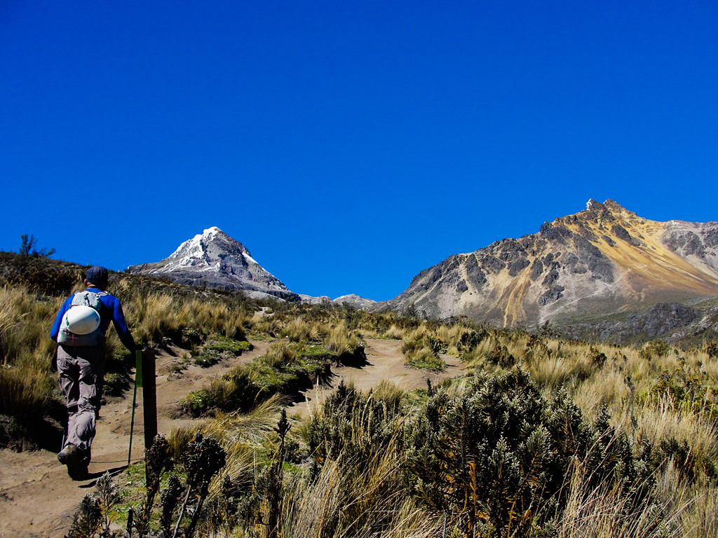
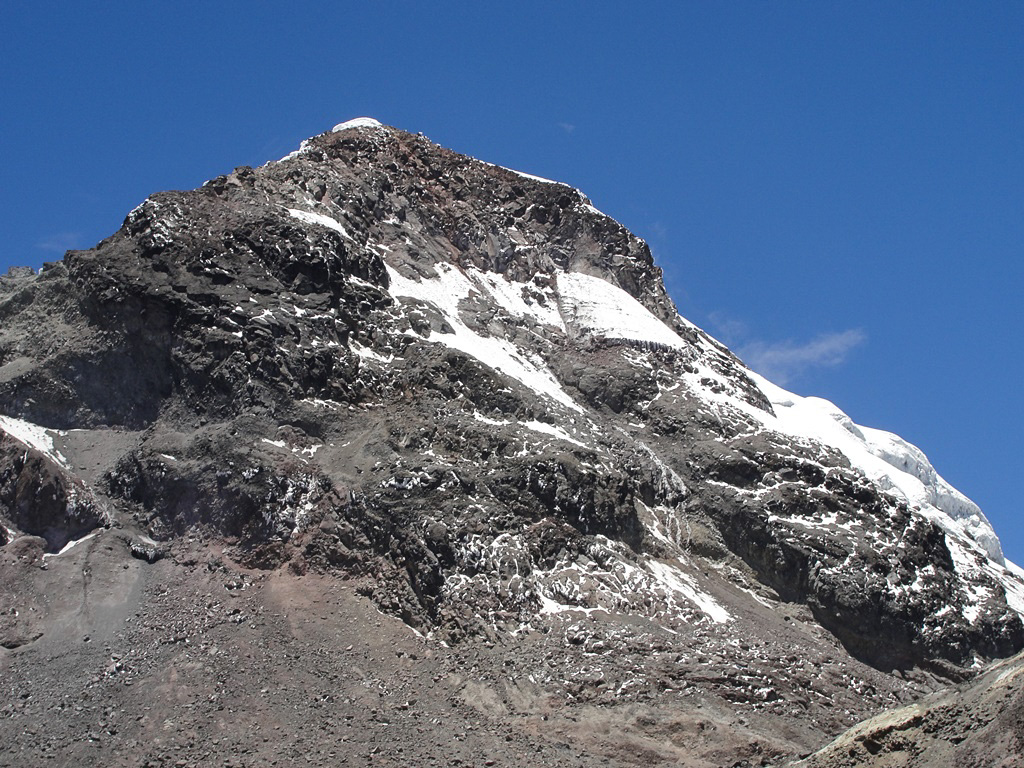
The Ilinizas massif is located in the Pichincha Province, Western Cordillera, at the western end of the Tiopullo node. it's formed by two inclined peaks that rise above 5000 meters. Etymologically, the south peak should be called Iliniza and the north one Tioniza; words originated from the Atacameño and which respectively mean “male hill” and “female hill”. Currently we called them referring to their cardinal position: Iliniza Sur and Iliniza Norte. Both mountains are separated by a depression called La Ensillada, which refers to a saddle. The Nuevos Horizontes Refuge is located at this place, second in antiquity in Ecuador, named in honor of the Mountain Club "Nuevos Horizontes". This refuge was opened in 1965 at the foot of the South Iliniza rock walls (and ice). The south peak with its 5266 meters has historically had glaciers on all its flanks; but due to global warming it has lost many of them, and those remaining have been constantly reducing its size. Recent years technical analyzes indicate that the current rate of global warming will dry it up completely in the coming decades. The north peak with its 5139 meters is composed mainly of sand and rocks, despite having an elevation just below its companion, it has not had glaciers for more than a century.
Data Table
| Place | Elevation |
|---|---|
| North Illin. Summit | 5139m |
| North Illin. Villavicencio Summit | 5123m |
| South Illin. Summit | 5266m |
| Nuevos Horiz. Refuge | 4746m |
| La Virgen Parking lot | 3997m |
| El Chaupi | 3370m |
National Park
Photo Gallery
Climbing and Hiking
 North Iliniza Summit North Iliniza Summit | Private tour | $ 190,00 |
- Hike from "La Virgen" to the Nuevos Horizontes Refuge. Easy, 2 - 3h.
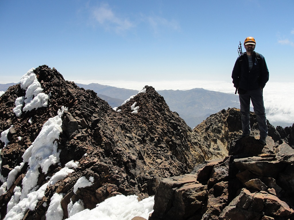
- Climb to the North Iliniza Summit. Medium difficulty, 5 - 7h (from "La Virgen"), round trip.
- Climb to the South Iliniza Summit. Difficult, 2 days.
- Trail from the refuge to "Green Lagoon". Easy, 45min to 1h, one way.
- Trail from the refuge to "Los Patos Lagoon". Easy, 45min to 1h, one way.
- Trekking "Thermal Springs" of Pastocalle - "Los Patos Lagoon". Easy, 2 - 3h.
- Hike around the North Iliniza. Medium difficulty, 6 to 8h (from "La Virgen").
- Click for more information
Flora Gallery
- How to get
- Distances
- Recommendations
- History
- Volcanology
How to get
Western Cordillera; 50 kilometers in a straight line southwest of Quito; 23 km from Machachi.
- Normal Approach “Chaupi”: From Quito take the Pan-American Highway south, pass Machachi and continue for more than 6 kilometers until you come to the detour to the town of Chaupi (there is a sign on the right side). The road to Chaupi is paved and without any complications. The road to the Ilinizas starts at Chaupi, it's cobblestoned and ballasted the last section, more advisable for 4×4 vehicles. The road ends at the place called La Virgen, where there is a good parking lot and it starts the trail to the Nuevos Horizontes refuge.

