Antisana Volcano
Description
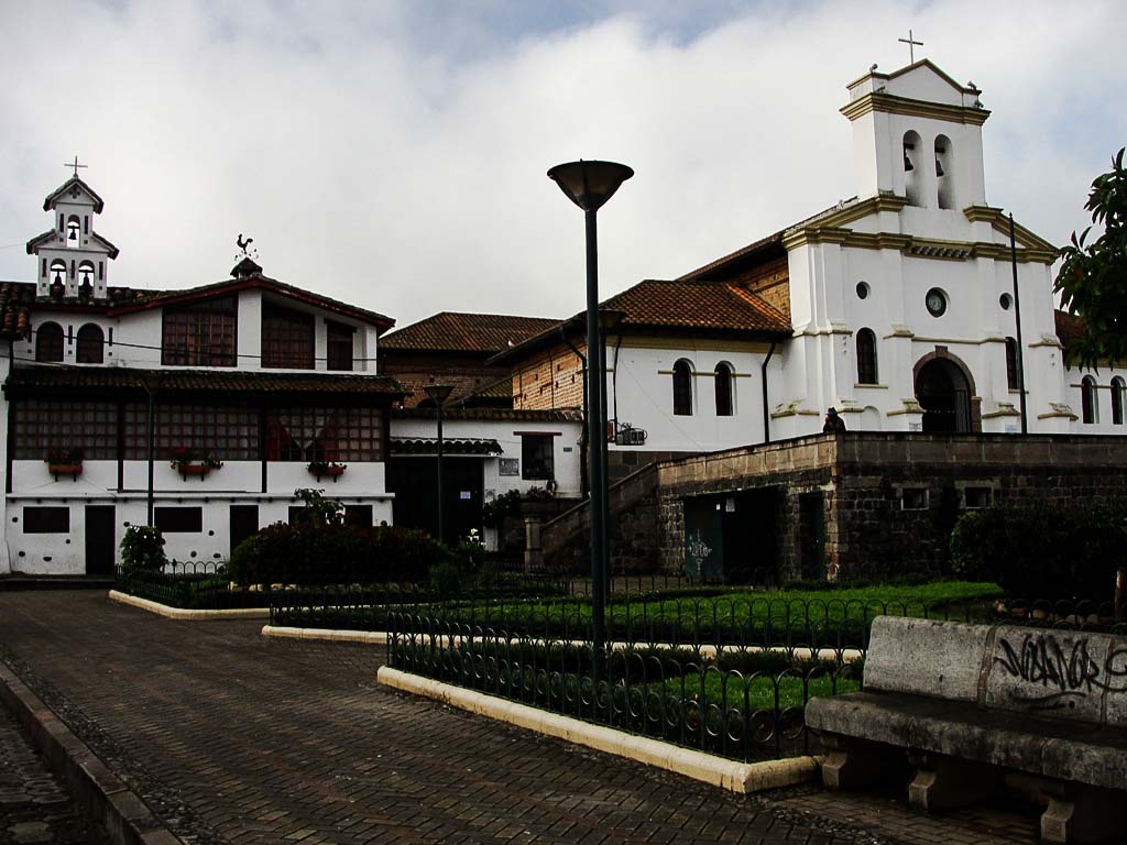
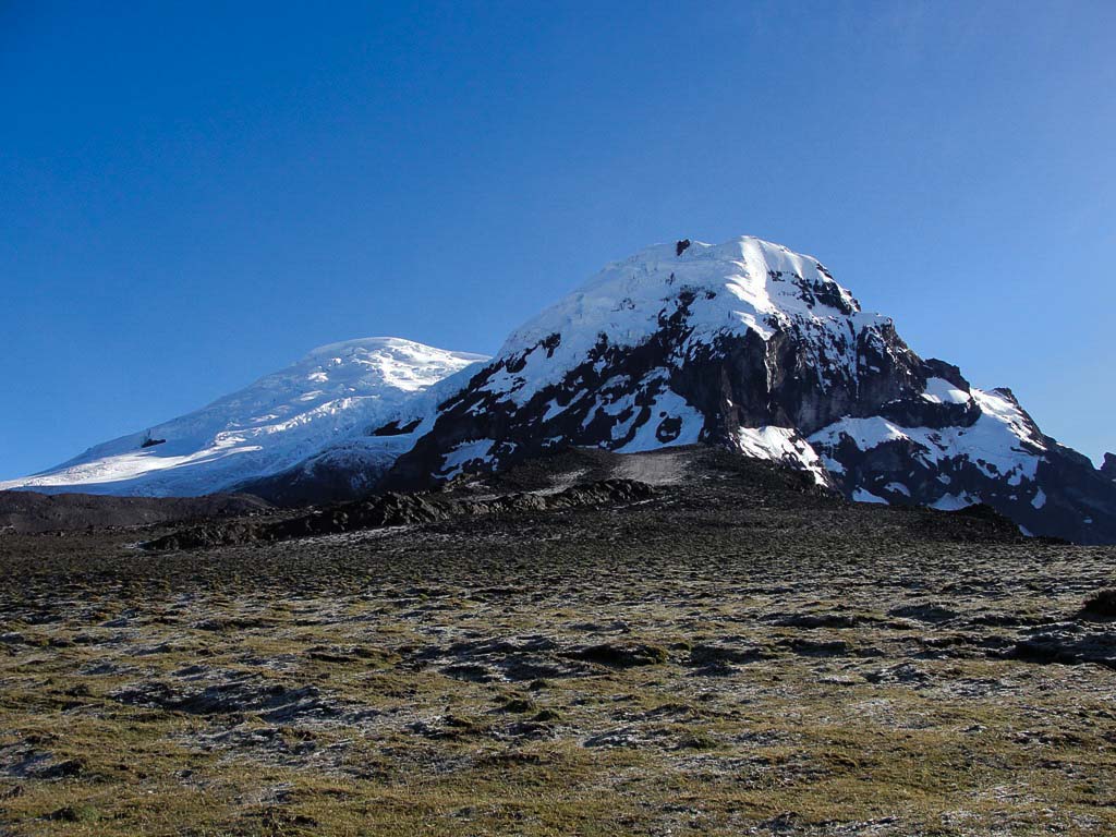
The Antisana volcano is located in the Napo Province, Cordillera Oriental, approximately 50 kilometers southeast of Quito. Its imposing massif, the fourth highest in Ecuador, is arranged in a north-south direction and measures 14 kilometers at its base, from Cerro Media Luna in the north to the Chulcupaillana river in the south. Some describe its name as probably derived from Quichua: "anti" which means "the land of the Andes" and "sani" which means "dark dwelling". The Antisana has four perfectly individualized peaks: the Central or Highest, the Northeast, the East and the South. The Highest Summit, frequently visited despite its tremendously broken and challenging glacier, presents the least climbing difficulty, but still offering great challenges. The South summit is a very attractive mixed climbing peak, its difficult routes have been only once climbed, with the exception of the normal northeast route which has a greater number of conquests. The Northeast and East summits are difficult to access and very few ascents to these summits are known.
Data Table
| Place | Elevation |
|---|---|
| Highest Summit | 5750m |
| South Summit | 5706m |
| Northeast Summit | 5708m |
| Eastern Summit | 5614m |
| Camp (aprox.) | 4500m |
| La Mica Lagoon | 3920m |
| Hacienda Pinantura | 3242m |
| Pintag town | 2860m |
National Park
Photo Gallery
Climbing and Hiking
Starting at La Mica Lagoon:
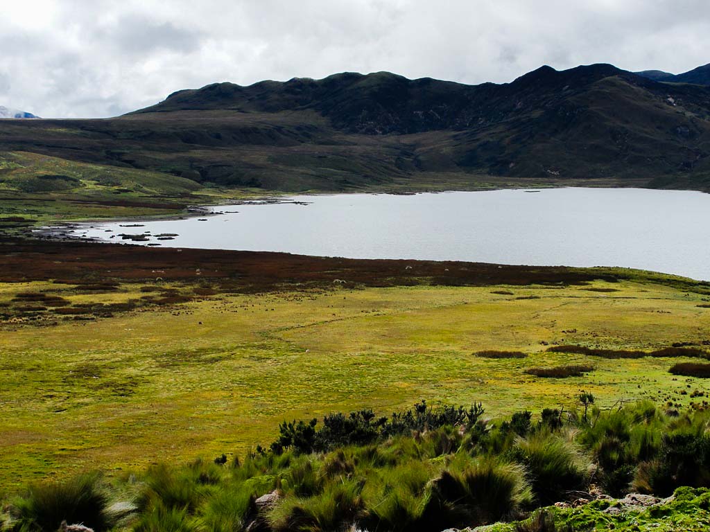
- Micaloma: This trail is about 3 kilometers long around La Mica lagoon. You might see the variety of birds and flora, and beautiful landscapes of paramo. Low difficulty.
- Gallaretas: it's a 1 kilometer route to observe the La Mica lagoon, the Antisana mountain, the flora and birds of the lagoon. Low difficulty.
- Patoúrco: it's a 1.4 kilometer route that offers another perspective of La Mica Lagoon and its scenic beauty. Low difficulty.
- La Mica - South Antisana peak base: It runs along the vehicle road that starts at the visitor control and slopes the Mica Lagoon, later taking a barely visible path until reaching the glacier at the base of Antisana South Peak. Approx. 20km. back and forth. Approximate time: 7-8 hours. Intermediate difficulty.
Restricted access control to Antisana:
- Important: Any of these routes requires an access permit issued by the Ministerio del Ambiente and Agua Potable de Quito, otherwise the guards will not let you pass.
- Antisanilla Summit: It presents beautiful views of Antisana on clear days. Low difficulty.
- Chusalongo Summit: An attractive and rarely visited summit. Approx. 16km. back and forth. Time between 7-8 hours. Medium difficulty.
- Antisana Summit: the Antisana peaks present greater technical difficulties than the main Ecuadorian snow capped mountains. The Highest Summit (5750m) is also the most accessible of the four peaks. The climbing route varies frequently due to the great difficulties of this tremendously broken glacier. At present the climbing is started from a place called "los crespos del sur", aiming to the pass between the highest and the south summits, and later taking to the north until reaching the summit plane. The Antisana climbing requires between 12 and 16 hours, round trip included. it's recommended to be technically prepared to face large crevaces and probable over 50 degrees ice and snow ramps. It's very important to mark the way with orientation banners.
- Oriental Summit: Second conquest, 2020, by Lenin Alba, Luis Almachi, Nicolás Páez
- Extreme Eastern Summit of Antisana (5614m), CUMBRE DEL ALBA (5614m): Opened 2020, by Lenin Almachi and Luis Almachi
- First route by the Caldera: Opened 2020, by Joshua Jarrín, Juliana García, Francisc Eins
- Antisana Highest Summit, Glacier 15 Direct: Opened 2020, by Marco Solís, Lorena Jima, Santiago Macas, Katy Simbaña, Hugo Ruiz
- Antisana South Summit, Northwest Face: Opened 2021, by Marco Solís and Felipe Arpi
- Antisana, Northeast Ridge to the Northeast Summit: Opened 2022, by Juan Carlos Torres and Jorge Pilataxi
- Antisanilla - Laguna de Muerte Pungo Trail: Beautiful and almost wild hike with partially visible paths. It follows the same Chusalongo route but continues until reaching the Muego Pungo lagoon north-western shore. Approx. 14km. one way. Time: 7-8 hours. Medium difficulty.
Longer distance trails:
- Trekking del Cóndor: Starts at the Cotopaxi National Park Northern Access Control and goes up to the Sincholagua volcano, passing through the flats between Antisana and Antisanilla until the stationary lagoon of "Santa Lucía", at this point it descends to the Tumiguina Lagoon ( also called "Laguna del Volcán"), and ends at the Tambo community very close to Papallacta Lagoon. It takes 3-4 days. Medium difficulty. There is no marked trail on many sections, so it's necessary to have orientation skills and the use of maps - compass or GPS.
Nearby hiking trails:
- Antisanilla lava flow to Secas Lagoon Hiking Trail: An attractive trail of approximately 4 to 6 hours that crosses the Muerte Pungo volcanic flow and ends at “Laguna de Secas” lagoon, on one side of the Pintag to Antisana Volcano road. Low difficulty.
- El Tablón – Tumiguina Lagoon Hiking Trail: The first day of a mythical trail in the Ecuadorian Andes: “Trekking del Cóndor”. This section is an attractive hike through picturesque, though muddy and rough, moorland, following a trail that can be difficult at times.
- Laguna de Secas: Visiting this lagoon is a recommended hike, which offers a very photogenic landscape, and at the same time the possibility of following one of the trails that descend to the lagoon and cover a stretch of the Muerte Pungo volcanic flow.
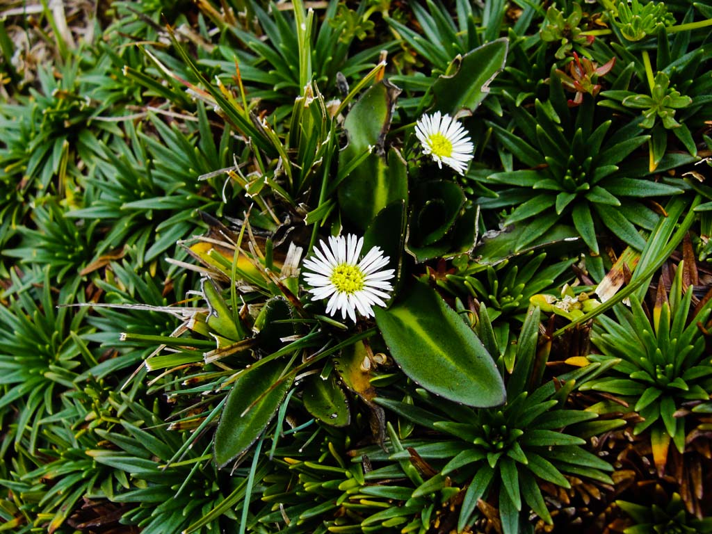
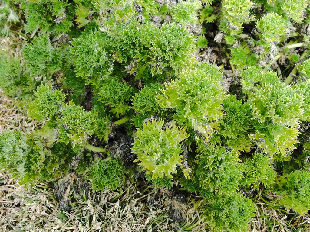
Flora Gallery
- How to get
- Distances
- Recommendations
- History
- Volcanology
How to get
Eastern Cordillera; 50 kilometers in a straight line southeast of Quito.
- Normal Approach "Pintag": From Quito go to the town of Pintag, pass the town and you will find signs indicating the road to Antisana. This path is paved to the "La Mica" lagoon and accessible for any vehicle. it's crossed first by the lava flows of Muerte Pungo and later by the old Hacienda Pinantura, then it continues through a very attractive landscape until you reach the lagoon at the foot of Antisana.

