Rumiñahui Volcano
Description
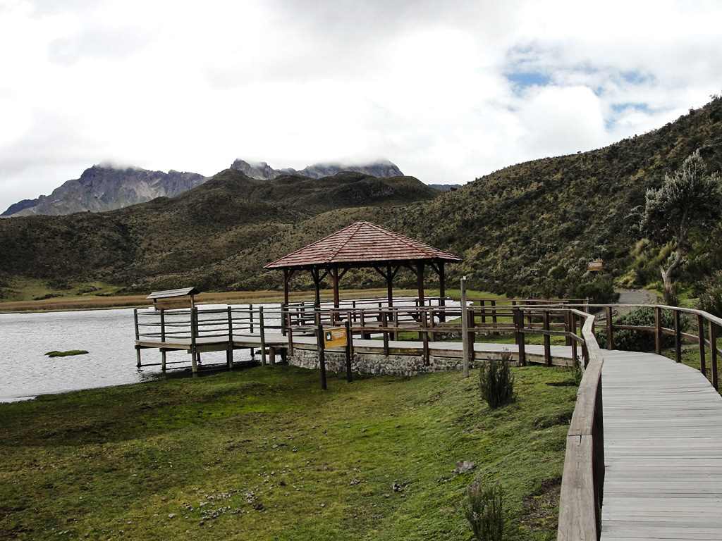
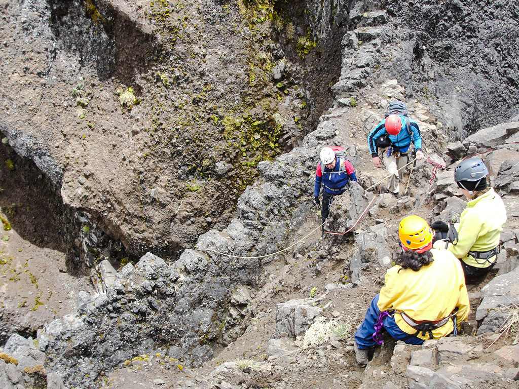
The Rumiñahui Volcano is in the Pichincha Province delimiting the north side of the Cotopaxi National Park, eastern section of the Nudo de Tiopullo in its convergence with the Eastern Cordillera. it's an ancient volcano already extinct and with a large caldera open towards the northwest. Its name comes from the quichua “rumi”, which means “stone” and “ñahui” which means “eye”; what would come to be “Eye of Stone”. It has three main summits: the North Rumiñahui Summit which is the highest; the Central is the easiest; and the South is the most difficult.
Data Table
| Place | Elevation |
|---|---|
| North Summit | 4722m |
| South Summit | 4704m |
| Central Summit | 4643m |
| Limpiopungo Lagoon | 3867m |
| Machachi | 2950m |
National Park
Photo Gallery
Climbing and Hiking
 Rumiñahui Summit Rumiñahui Summit | Private tour | $ 160,00 |
 Tour to Limpiopungo Lagoon and Cotopaxi Glaciers Tour to Limpiopungo Lagoon and Cotopaxi Glaciers | Private tour | $ 180,00 |
- Limpiopungo - North Summit
- Limpiopungo - Central Summit
- Limpiopungo - South Summit
- Trail around the Limpiopungo Lagoon
- Trekking Boliche - Limpiopungo
- Trekking Panzaleo - Limpiopungo
- Panzaleo - Rumiñahui South Summit
- Click for more information
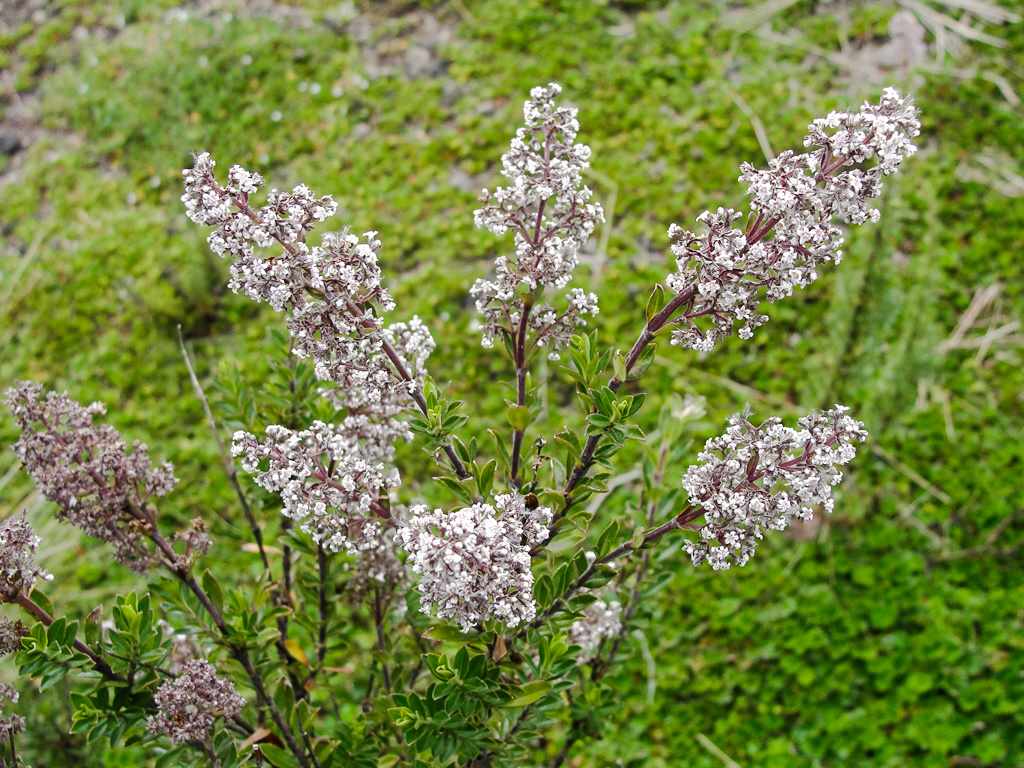
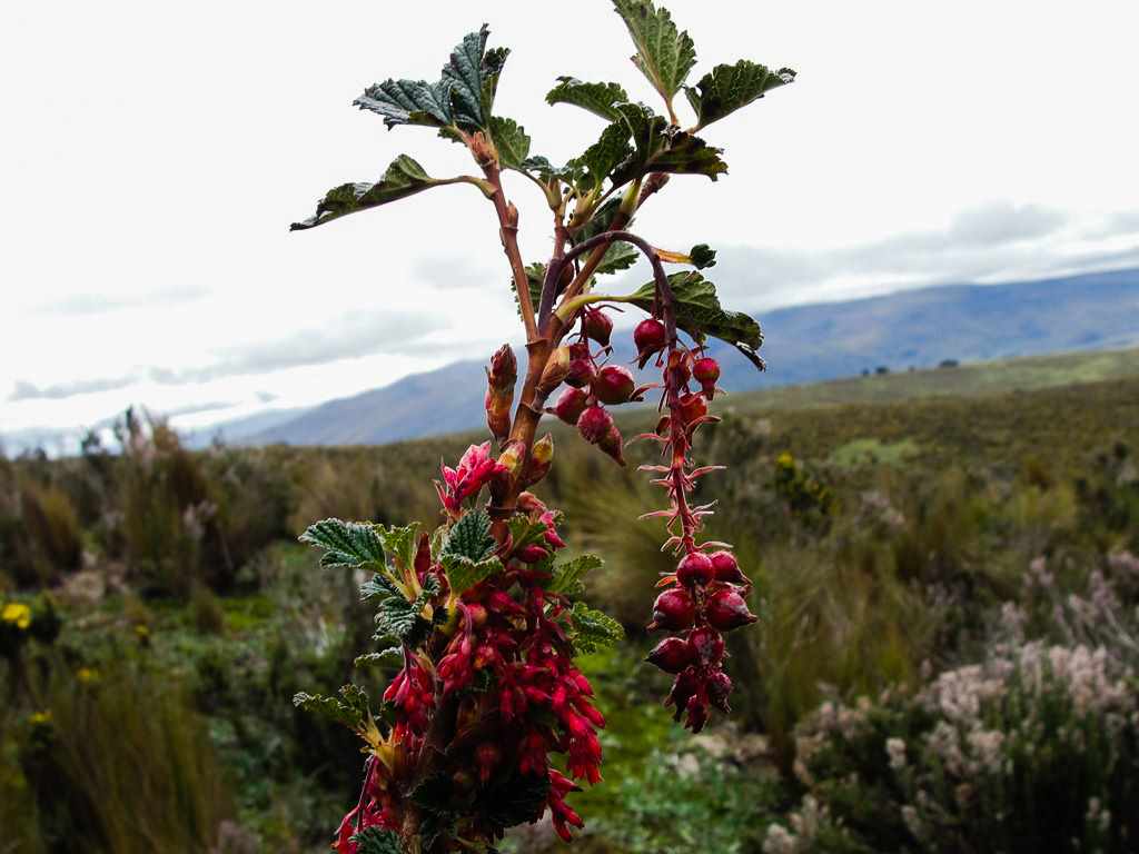
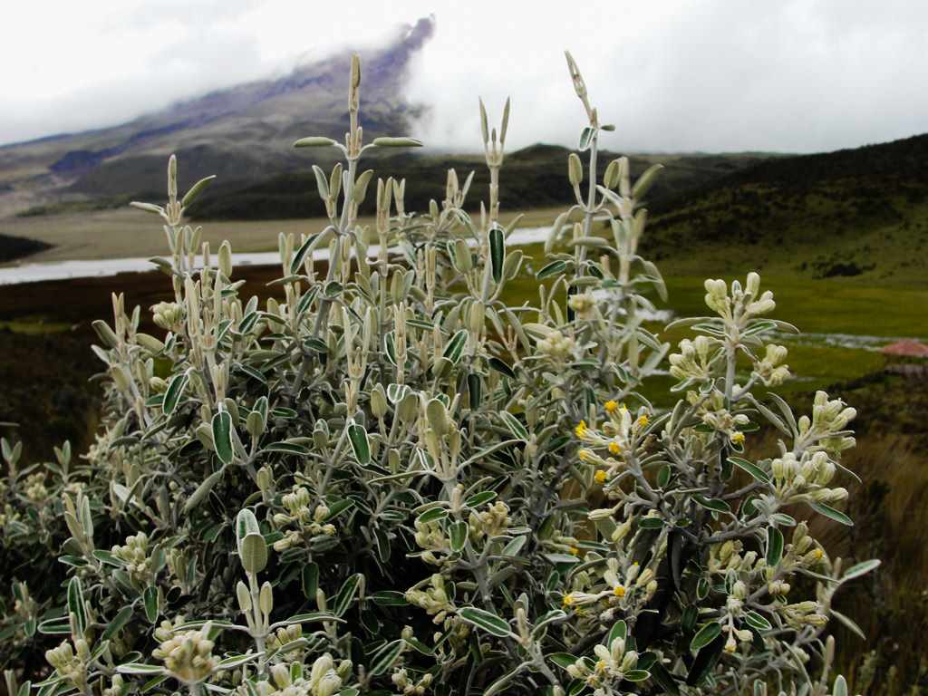
Flora Gallery
- How to get
- Distances
- Recommendations
How to get
Eastern Cordillera; 43 kilometers in a straight line south of Quito; 10 km from Machachi. There are four main routes for approaching Rumiñahui:
- "Control Norte" Approach: In the central plaza of Machachi you can ask for the road to the Cotopaxi National Park North Control, the first section is paved and later ballasted, more appropriate for 4 × 4 vehicles. it's necessary to register in the north control and continue to the Laguna de Limpiopungo where the hike begins.
- "Control Caspi" Approach: From Quito, take the Panamerican Hw towards Latacunga, passing Machachi, go up to the highs of the Tiopullo knot, and then go down towards Lasso, as soon as you finish this descent you will find a well-signposted detour indicating the exit to Cotopaxi. The road is paved for the most part and goes through the Cotopaxi National Park Caspi Control where registration is mandatory. A few kilometers more, the pavement ends and it continues the old ballast road that reaches the Limpiopungo Lagoon.
- "El Pita" Approach: From Sangolquí, Redondel del Choclo, it's taken to the south by Juan de Salinas avenue, following straight ahead it will end up arriving at the Cotopaxi National Park North Control and later to the Limpiopungo Lagoon.
- "El Boliche" Approach: From Machachi, continue to the south by the Panamerican Hw to the highlands of the Nudo de Tiopullo, the higher ground is covered by pine forest, there you may find the road to "El Boliche" National Recreation Area. This approach requires a longer trekking and greater effort than the previous mentioned.
- "Panzaleo" Approach: From Machachi you head south to Panzaleo and from there follow a 4x4 road, there are some signs indicating the direction to Rumiñahui. This approach is used to climb Rumiñahui South.

